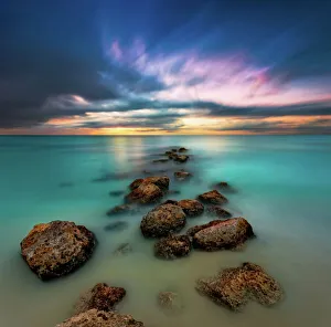
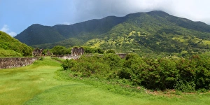
78366, 78366-022dg, Attraction, Beach, Beauty, Caribbean, Coastline, Day, Full-Color, Journey, Landscape & Scenics, Ocean, Outdoors, People, Picturesque, Sand, Scenics, Sea, Seascape, Shore
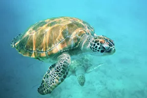
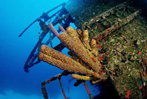
animal, animals, antilles, aquatic, bodies, body, bonaire, caribbean, dweller, dwellers
Yellow Sponge at the Hilma Hooker wreck, Bonaire, Netherlands Antilles, Caribbean
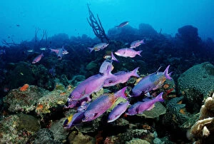
animal, animals, anthozoa, antilles, aquatic, bodies, body, bonaire, caribbean, clepticus
Creole wrasse (Clepticus Parra), Bonaire, Netherlands Antilles, Caribbean
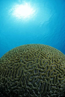
america, animal, animals, anthozoa, aquatic, belize, bodies, body, caribbean, central
Round stone coral (Madreporaria), Belize, Caribbean, Central America
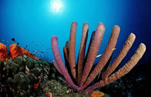
animal, animals, anthozoa, aquatic, bodies, body, british, bvi, caribbean, caribeean
Caribeean reef with sponge, Caribbean Sea, British Virgin Islands, Caribbean
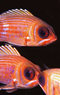
Animals, Caribbean, Close-Up, English Culture, Fish, Ocean, Sea Life, Striped
" Animals, Caribbean, Close-Up, English Culture, Fish, Ocean, Sea Life, Striped, West, carson, cayman, gan0447, ganci, grand, indies, marine, marine life, squirrelfish, vertical, water
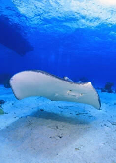
Animals, Blue, Caribbean, City, Clear, Ocean, Ray, Sand, Sea, Sea Life, Shore
" Animals, Blue, Caribbean, City, Clear, Ocean, Ray, Sand, Sea, Sea Life, Shore, Stingray, Tropical, Underwater, boats, bottom, carson, cayman, gan0653, ganci, grand, hunting, life, marine
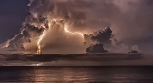
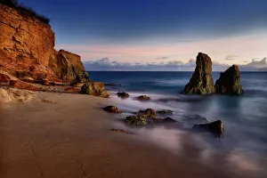
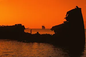
Caribbean, Creation, Evening, Grand Cayman, Island, Morning, Ocean, Red, Rippled, Rock, Sailboat, Scenics, Sunrise, Sunset, Tropical, beauty, brilliant, carson, cayman, color, gan0808, ganci, grand