mail_outline sales@mediastorehouse.com
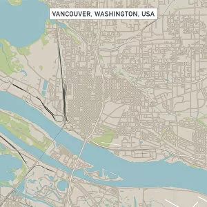
Vancouver Washington US City Street MapVector Illustration of a City Street Map of Vancouver, Washington, USA. Scale 1:60, 000. All source data is in the public domain. U.S
I-205 Interstate Freeway Blue HourI-205 Interstate Freeway Light Trails with Snow Covered Mount Saint Helens and Columbia River in Oregon and Washington States at Blue Hour Evening
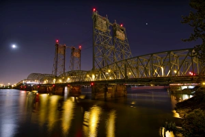
I-5 Interstate Bridge over Columbia River at NightI-5 Interstate Bridge Columbia Crossing over Columbia River between Portland Oregon and Vancouver Washington on a clear night with full moon rising and water reflection
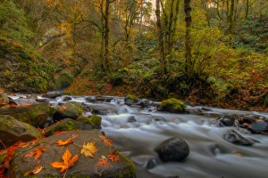
Autumn in Bridal Veil Falls State Park OregonBridal Veil Falls State Park at Columbia River Gorge National Scenic Forest in Oregon showing creek water flowing during Fall Season with leaves on rocks
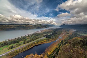
Columbia River Gorge in AutumnChecking Out Fall Colors at Columbia River Gorge
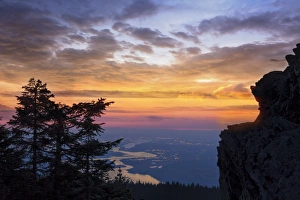
Larch Mountain SunsetSunset over Columbia River Gorge from Larch Mountain Viewpoint
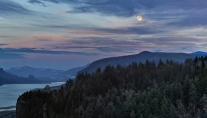
Moonrise at Columbia River GorgeMoonrise Over Vista House on Crown Point at Dusk
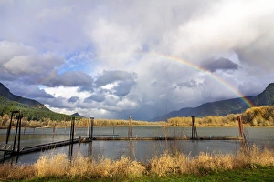
Rainbow over Columbia River at Beacon Rock State Park in Washington State
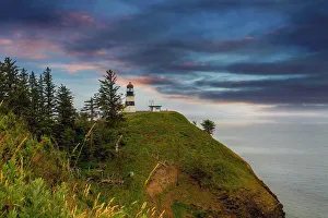
Cape Disappointment Lighthouse after SunsetCape Disappointment Lighthouse in Washington State after sunset
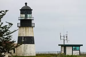
Cape Disappointment CloseupCape Disappointment Lighthouse in Washington State closeup
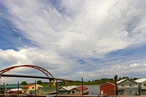
Floating Homes by Sauvie Island BridgeFloating Homes House Boats by Sauvie Island Bridge along the Columbia River in Oregon
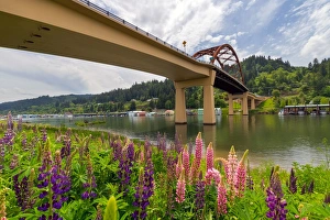
Lupine Bloomingby Sauvie Island BridgeLupine flowers in bloom by Sauvie Island Bridge along Columbia River in Oregon
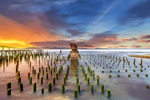
The RemainsThe Boiler Remains of the White Star Cannery in Astoria
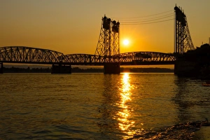
Golden Sunset Over Interstate BridgeGolden Sunset over Columbia Crossing I-5 Interstate Bridge between Oregon and Washington States