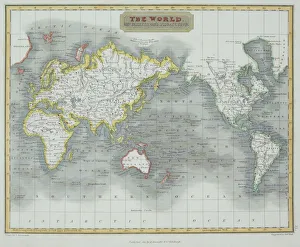
central america, clouds, continents, disaster, eye of storm, globe, meteorology, mexico
central america, clouds, continents, disaster, eye of storm, globe, me, 82047892
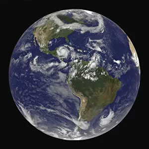
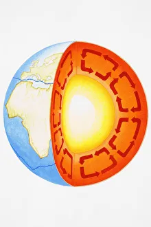
africa, usa, arctic, continents, earth, global, globe, hemisphere, ice, land, nobody
africa, usa, arctic, continents, earth, global, globe, hemisphere, ice, l, 82047893
africa, animals, antique, archival, art, asia, australia, border, cartography, continents, culture, decorative, depicted, depicting, depiction, diversity, document, eastern hemisphere, europe
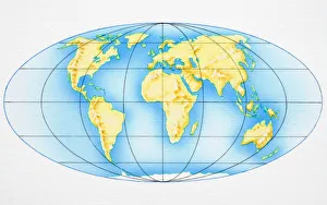
nobody, antique, vintage, archival, cartography, geography, map, history, historical, north pole, south pole, continents, world, earth, north america, south america, europe, africa, asia, australia
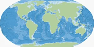
antiquity, archival, cartography, continents, geographical, geography, historic, map, maritime, nautical, navigating, navigation, new world, nobody, north america, old-fashioned, south america, text