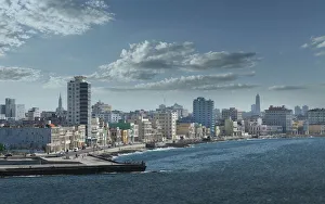
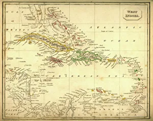
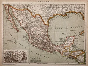
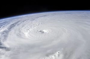
Bizarre, Caribbean Sea, Climate, Cloud, Color Image, Cuba, Destruction, Dramatic
Bizarre, Caribbean Sea, Climate, Cloud, Color Image, Cuba, Destruction, Science Photo Library, 85757364
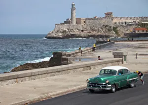
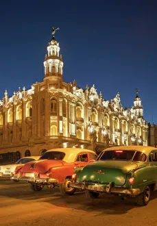
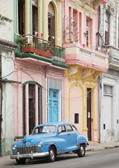
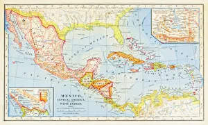
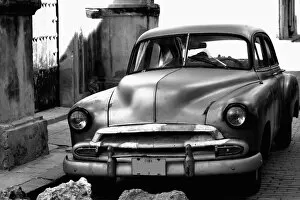
black and white, car, chevrolet, chevy, cuba, day, desaturated, havana, heritage, horizontal, journey, no people, nostalgia, old-fashioned, outdoors, parked, photography, retro, sunny