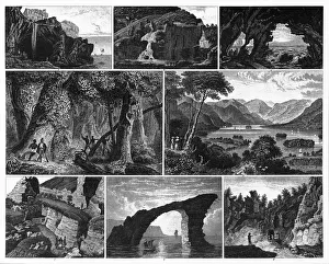
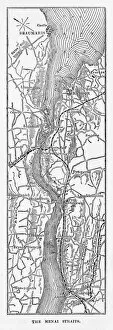
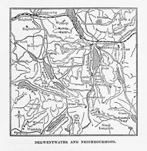
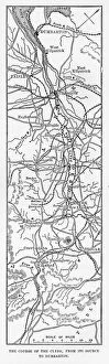
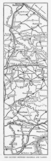
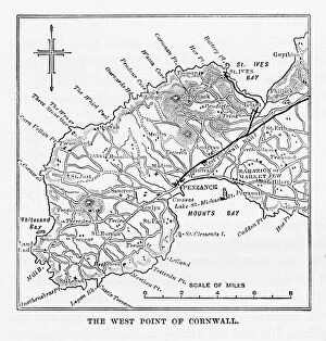
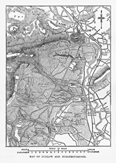
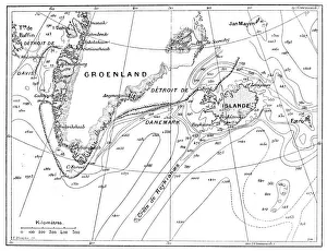
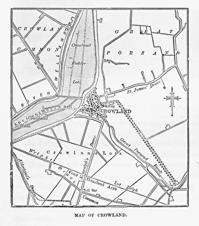
Map of Derwentwater, Keswick, England Victorian Engraving, 1840
Very Rare, Beautifully Illustrated Antique Engraving of Map of Derwentwater, Keswick, England Victorian Engraving, 1840 from Our Own Country, Great Britain, Descriptive, Historical, Pictorial