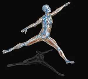
Digitally generated image of human representation dancing ballet
digitally generated image, human representation, dancing, motion, action, freedom, leap, anatomy, internal organ, human skeleton, human bone, free, escape, unleashed, reaching, striving, aspiration
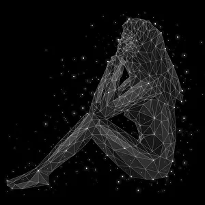
The constellation of Virgo
square, illustration, color, illustration technique, digitally generated image, concepts & topics, studio shot, black background, one person, series, creativity, absence, ideas, still life