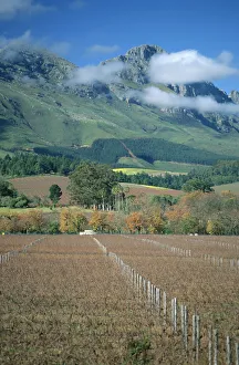
Africa, Autumn, Boland, Cape Winelands, Color Image, Day, District, Fence, Field
Africa, Autumn, Boland, Cape Winelands, Color Image, Day, District, Fen, Gallo Landscapes, 81157385
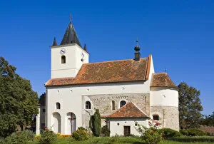
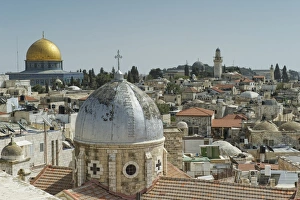
architecture, belief, building, buildings, christian, christianity, church, churches
Church of St. Peter and Paul, protected monument, Mikulovice, Znojmo district, South Moravia region, Czech Republic, Europe
141, architecture, building, buildings, conservation, czech, day, daylight, daytime
Building of the rectory No. 141, protected monument, Mikulovice, Znojmo district, South Moravia region, Czech Republic, Europe
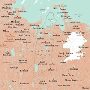
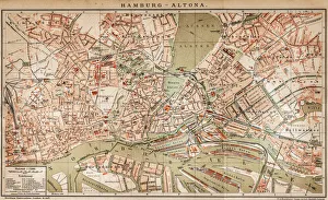
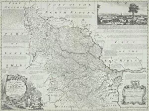
antique, archival, art, border, cartography, cartouche, coordinates, county, district, document, england, geography, historical, illustrations, inset, key, latitude, legend, longitude, map, nation
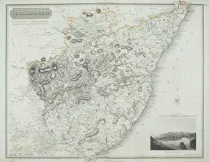
antique, archival, art, cartography, coordinates, county, district, document, geography, historical, illustration, inset, key, kincardineshire, lake, landscape, latitude, legend, loch, longitude
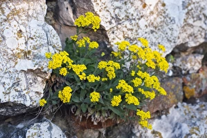
Basket of Gold, Yellow alyssum flowers, Basket-Of-Gold, Candy Mustard, Gold Alyssum, Gold Dust, Gold-Dust, Golden-Tuft Alyssum, Golden-Tuft Madwort, Rock Madwort (Aurinia saxatilis, Alyssum saxatile)