mail_outline sales@mediastorehouse.com
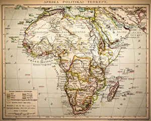
Africa Political MapAntique illustration of a Africa Political Map from 1893
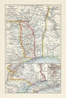
Historical map of Togo during the German colonial period (1884-1916)Historical map of Togo in West Africa during the German colonial period from 1884 to 1916. Lithograph, published in 1897
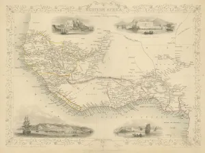
Map of Western Africa 1851Antique 1851 engraved map by J Rapkin, published by John Tallis. Original outline hand colour, decorative border, and attractive inset vignette views of Western Africa
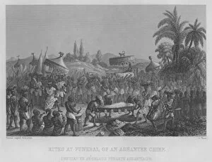
Ashanti Chief FuneralIllustration of the burial rites of an Ashanti Chief. (Photo by Kean Collection/Getty Images)
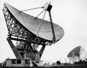
Telescopecirca 1950: Mark II radio telescope, Jodrell Bank. (Photo by Central Press/Getty Images)
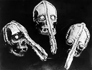
Big Nosescirca 1950: Decorated human skulls used by witch doctors in Ghana. (Photo by General Photographic Agency/Getty Images)