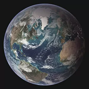
africa, usa, arctic, continents, earth, global, globe, hemisphere, ice, land, nobody
africa, usa, arctic, continents, earth, global, globe, hemisphere, ice, l, 82047893
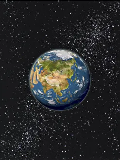
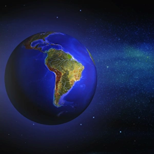
binary, digital, earth, energy, global, globe, lightning, montage, nobody, numbers, orb, outer space, planet, sphere, stars, universe, whole, world, Hemera, 87464649