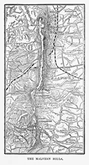
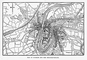
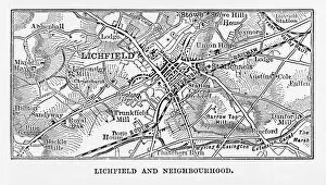
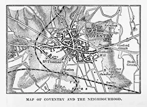
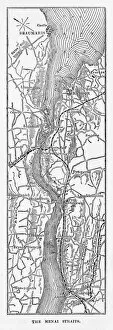
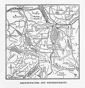
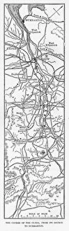
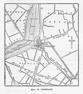
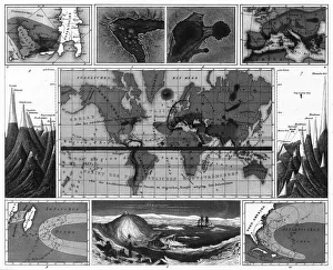
Map of Derwentwater, Keswick, England Victorian Engraving, 1840
Very Rare, Beautifully Illustrated Antique Engraving of Map of Derwentwater, Keswick, England Victorian Engraving, 1840 from Our Own Country, Great Britain, Descriptive, Historical, Pictorial
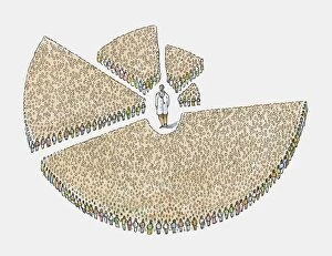
Graph showing doctors per population, Rwanda 72, 990: 1, Nepal 20, 000: 1, Laos 4, 380: 1, United Arab Emirates 1
Graph showing doctors per population, Rwanda 72, 990:1, Nepal 20, 000:1, Laos 4, 380:1, United Arab Emirates 1, 000:1, Latvia 200:1