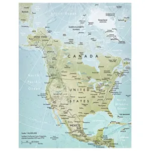
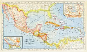
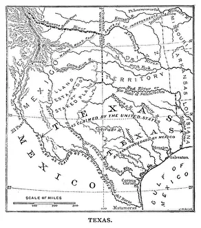
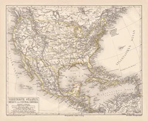
Gulf Of Mexico Collection
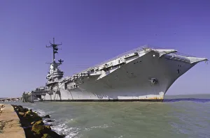
USS Enterprise Aircraft Carrier, TX
Boat, Coast, Day, Defense, Government, Marine Transportation, Military, Navy, Ocean, Outdoor, Patriotic, Sea, Ship, War, Water, Security, Texas, United States, Seascape, North America, Carrier
All Professionally Made to Order for Quick Shipping