mail_outline sales@mediastorehouse.com
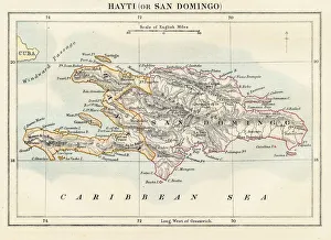
Haiti and Dominican republic map 1883Encyclopedia Britannica 9th Edition New York Samuel L. Hall 1883 Vol XI
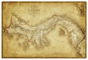
Map of Panama 1864Map of Panama - combined with 2 different texture overlays
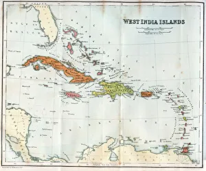
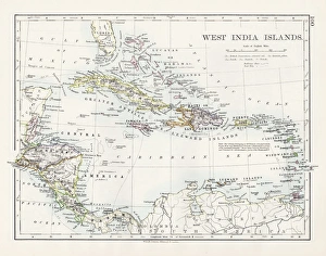
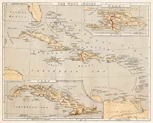
Vintage map of the West India Islands 1860s
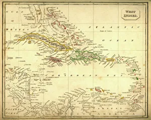
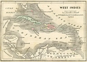
Antquie Map of The West IndiesVintage map of The West Indies from 1837
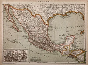
Map of MexicoAntique map of Mexico
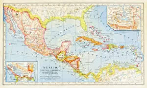
1883 Map Of Central America
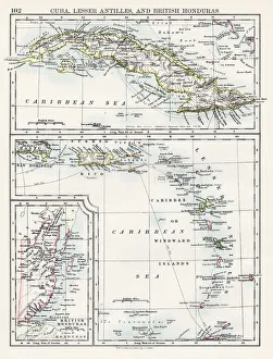
Cuba lesser antilles map 1897The World-Wide Atlas of Modern Geography, Political and Physical W. & A.K. Johnston - London 1897
West indies map 1897The World-Wide Atlas of Modern Geography, Political and Physical W. & A.K. Johnston - London 1897
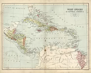
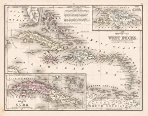
Antique map of West Indies and Central America, 19th Century, 1873
West Indies map 1869Cornells Grammars-School Geography - S.S. Cornell - New York D. Appleton and Company 1869
West Indies map 1855System of Geography for the use of schools by Sidney E. Morse - Published by Harper & Brothers - New York 1855
West Indies map 1856Colton and Fitchs Modern School Geography by George W. Fitch - New York 1856
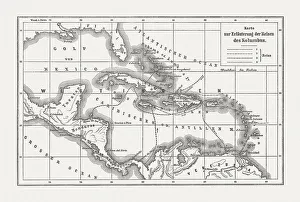
Voyages of Christopher Columbus, wood engraving, published c. 1882Map with the routes of the four voyages of Christopher Columbus in the Caribbean Sea. Wood engraving, published c. 1882
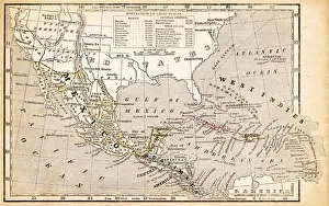
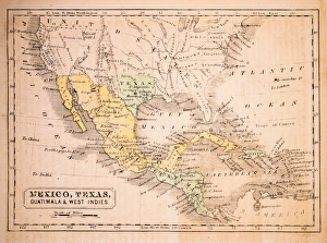
Mexico, Texas, Guatimala and West Indies 1852 Map
West Indies map 1867Mitchellas Modern Atlas - Published by E.H. Butler and Co - Philadelphia 1867
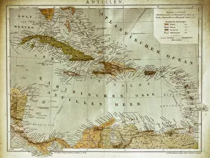
West indies, Antilles mapIllustration of a West indies, Antilles map
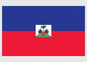
Illustration of official and state flag of Haiti, with blue and red field and coat of arms of Haiti in centre on white panel
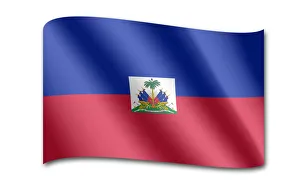
Flag of Haiti
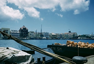
Haitian HarbourA view across a harbour, Haiti, July 1949. Original publication: Picture Post - 4843 - The World Unites On Its First Big Job - pub. 30th July 1949
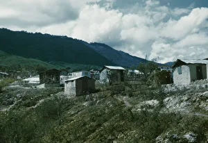
Mountain VillageShacks on the outskirts of a mountain village, Haiti, July 1949. Original publication: Picture Post - 4843 - The World Unites On Its First Big Job - pub. 30th July 1949