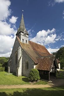
St Peter and Holy Cross Church, Church, churches, religion, religious building, place of worship, Christianity, Wherwell, Hampshire, Britain, British, UK, United Kingdom, England, English, vertical
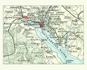
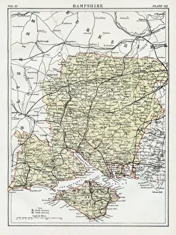
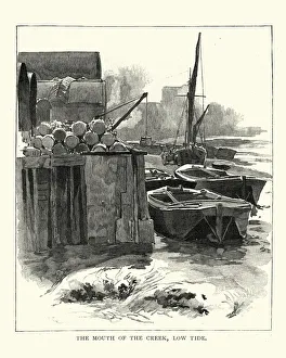
19th Century, Antique, Barge, Current, District Type, Docks, England, Engraving, Europe
Vintage engraving of Selborne, Hampshire, Mouth of the Creek at Low Tide, 1892
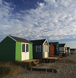
architecture, beach huts, buildings, cottages, day, england, europe, getaway, hampshire
Beach huts, Mudeford Spit, Hampshire, England