mail_outline sales@mediastorehouse.com
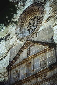
Monastery and church of San Juan BautistaThe site of the church and former monastery of San Juan Bautista was a teocalli, or sacred precinct, dedicated to a god of commerce called Yacapitzauac
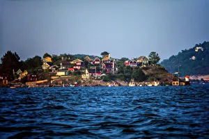
Nakholmen island in front of OsloNakholmen is an uninhabited island in the inner part of Oslofjord, in the municipitality of Oslo. It is located west of LindAŝya and southeast of BygdAŝy. The island has many weekend cottages
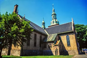
Oslo Cathedralis the main church for the Church of Norway Diocese of Oslo, as well as the parish church for downtown Oslo. The present building dates from 1694-1697
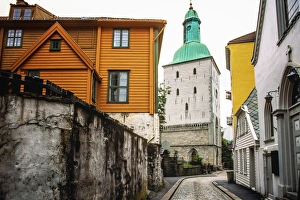
Bergen Cathedral a cathedral in Bergen municipality in Hordaland county, Norway. It is located in the city of Bergen. The church is the seat of the Bergen domkirke parish
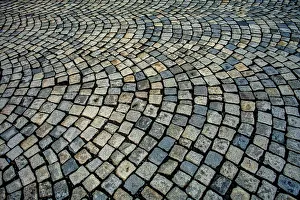
Cobblestone street in BergenWe can see the floor in the old part of the city, a cobblestone floor with a nice pattern Bergen, is a city and municipality in Hordaland on the west coast of Norway
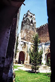
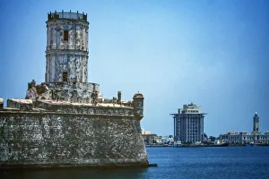
san juan de ulua fortressSan Juan de Ula fortress, also known as Castle of San Juan de Ula, is a large complex of fortresses, prisons and one former palace on an island of the same name in the Gulf of Mexico overlooking
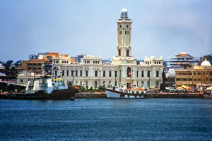
veracruz CityOfficially known as Heroica Veracruz, is a major port city and municipality on the Gulf of Mexico in the Mexican state of Veracruz
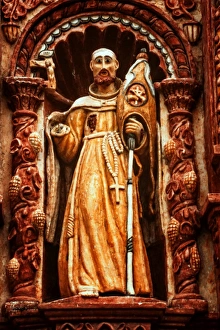
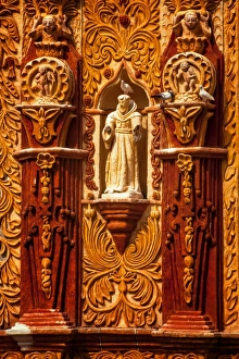
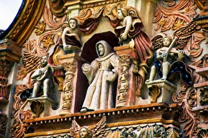
San Francisco del Valle de Tilaco is in a small community eighteen km northeast of Landa de Matamoros. It was constructed between 1754 and 1762 by Juan Crespi and dedicated to Francis of Assisi
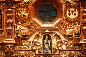
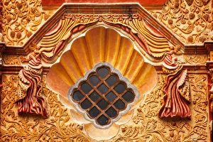
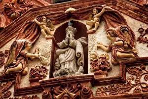
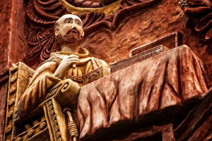
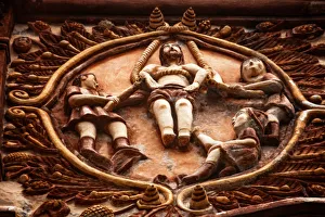
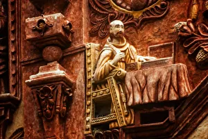
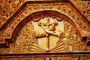
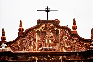
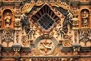
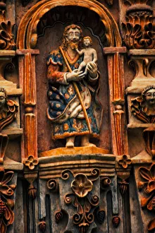
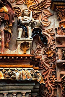
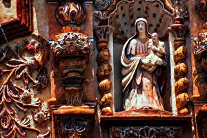
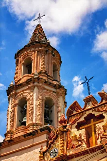
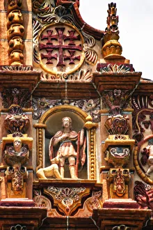
Jalpan Mission in Sierra GordaAlthough the mission in Jalpan was established before JunAipero Serrs 1750 arrival into the region, Serra is given credit for building the five main missions of this area
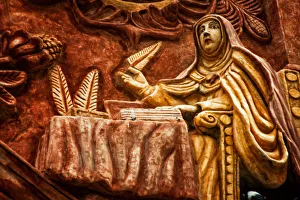
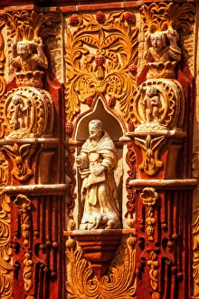
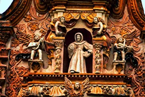
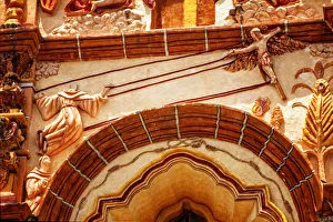
Santa MarAia del Agua de Landa, missionSanta MarAia del Agua de Landa is located twenty km from Jalpan on Highway 120 towards Xilitla. The mission was built between 1760
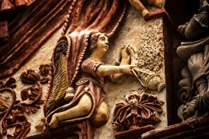
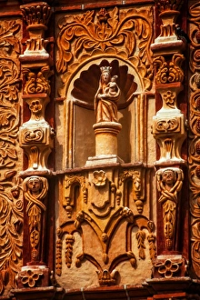
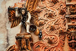
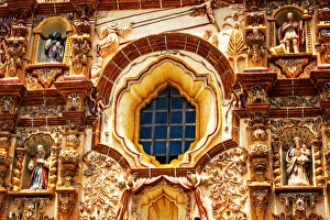
Nuestra SeAnora de la Luz de TancoyolA second mission is located in the community of Tancoyol called Nuestra SeAnora de la Luz de Tancoyol, dedicated to Our Lady of Light
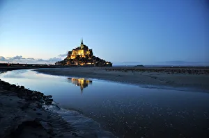
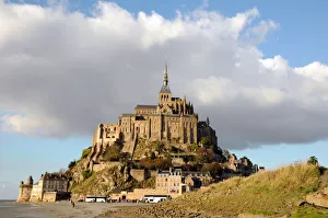
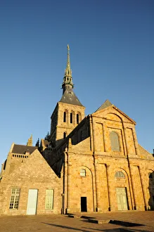
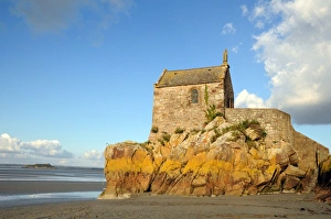
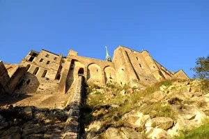
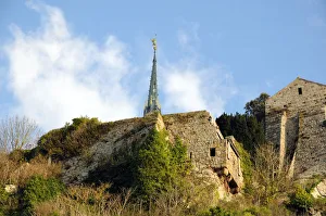
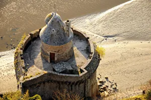
Mont Saint-Michel Normandy FranceMont Saint-Michel is an island commune in Normandy, France. It is located approximately one kilometre (0.6 miles) off the countrys northwestern coast, at the mouth of the Couesnon River near Avranches
Mont Saint-Michel Normandy FranceMont Saint-Michel is an island commune in Normandy, France. It is located approximately one kilometre (0.6 miles) off the countrys northwestern coast
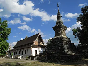
Wat Thatluang of Luang Phabang, Luang Phabang, Laos, December, 2009
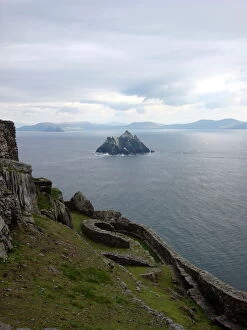
Skellig MichaelView from Skellig Michael over the Atlantic Ocean, Little Skellig and the Kerry mountains in the background