mail_outline sales@mediastorehouse.com
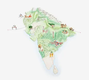
Illustrated map of India showing ancient Mauryan empire
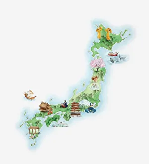
Illustrated map of ancient Japan
Illustrated map of Indus Valley civilisation
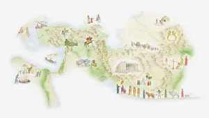
Illustrated map of ancient Persia
Illustrated map of ancient Assyrian empire
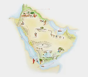
Illustrated map of ancient Arab trade routes and pilgrimage sites
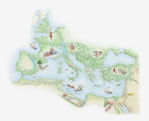
Illustrated map of Roman Empire, BC
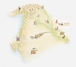
Illustrated map of ancient Sumer with rivers Tigris and Euphrates
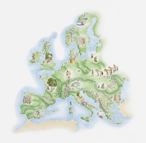
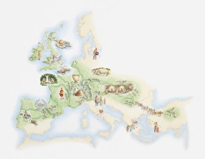
Illustrated map of Bronze Age civilisations across Europe, showing stone circles, settlements, agricultural activity
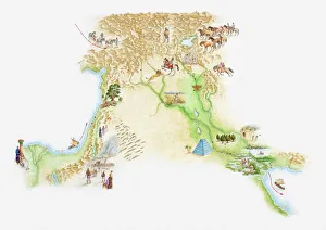
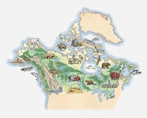
Illustrated map of Northern America including Canada and Alaska
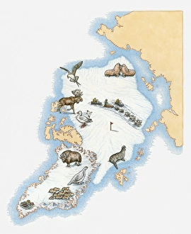
Illustrated map of Greenland
Illustrated map of Phoenician empire and trade routes
Illustrated map of ancient Babylon
Illustrated map of population of Celts across Iron Age Europe
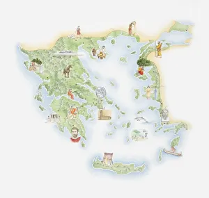
Illustrated map of Ancient Greece, BC
Illustrated map of the land of the Aztecs
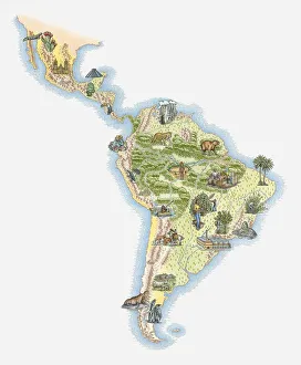
Illustrated map of Central and Southern America
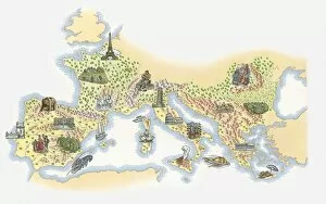
Illustrated map of France, Southern and Southeastern Europe
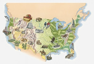
Illustrated map of the USA
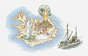
Illustrated map of Iceland
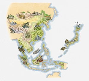
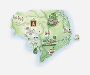
Illustrated map of East and Southeast Asia
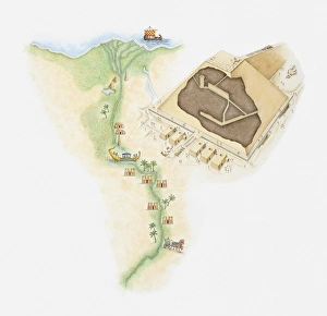
Illustrated map of Egypt showing position of pyramids and rock tombs along River Nile, next to a model of a pyramid
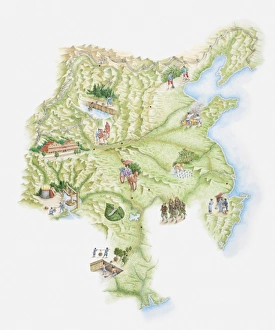
Illustrated map of ancient Chinese empire showing monuments, workers and warriors
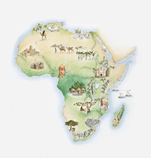
Illustrated map of Africa
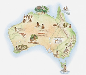
Illustrated map of Australia showing wildlife and Aborigine population
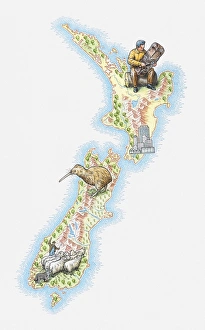
Illustrated map of New Zealand
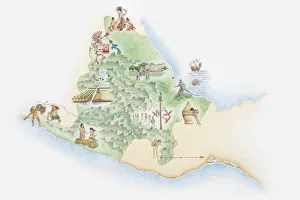
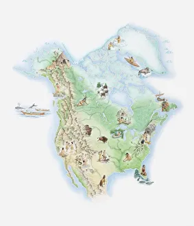
Illustrated map of North America showing indigenous people and wildlife
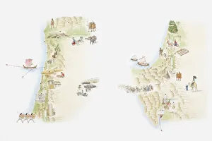
Illustrated maps of ancient Canaan (left) and Sinai peninsula (right)
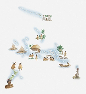
Illustrated map of New Zealand, Hawaiian Islands, Polynesian Islands and native population
Illustrated map of ancient kingdom of the Khmers