mail_outline sales@mediastorehouse.com
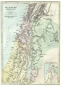
Map of Palestine in the time of Jesus ChristVintage engraving of Map of Palestine in the time of Jesus Christ
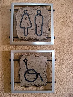
Toilet signs, Masada, IsraelMen, women and disabled toilet signs, Masada
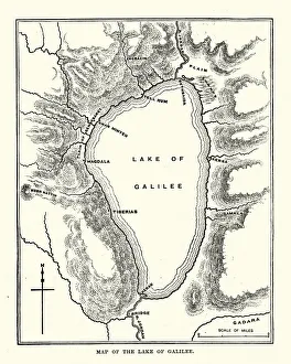
Map of the Sea of GalileeVintage engraving of a Map of the Sea of Galilee, 19th Century
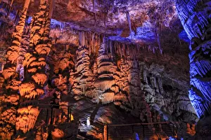
Avshalom Stalactite cave, Beit Shemesh, IsraelAvshalom Stalactite Cave Nature Reserve (also called Soreq Cave). This 82-meter-long, 60-meter-wide cave is on the western slopes of the Judean Hills outside the city of Beit Shemesh, Israel
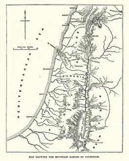
Map showing the mountain ranges of PalestineVintage engraving of Map showing the mountain ranges of Palestine, 19th Century
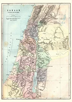
Map of Canaan as divided amoung the tribesVintage engraving of a Map of Canaan as divided amoung the tribes
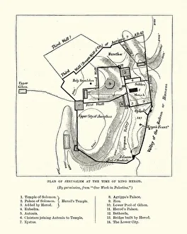
Plan of Jerusalem at the Tine of King HerodVintage engraving of a Plan of Jerusalem at the Tine of King Herod
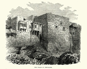
Walls of Jerusalem, 18th CenturyVintage engraving of Walls of Jerusalem, 18th Century
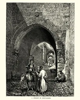
Street in Jerusalem, 19th CenturyVintage engraving of a Street in Jerusalem, 19th Century
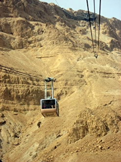
Cable car to Masada, Israel
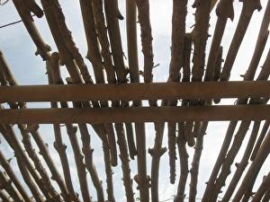
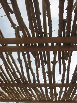
Shelter, Masada, IsraelRoof of sun shelter, Masada
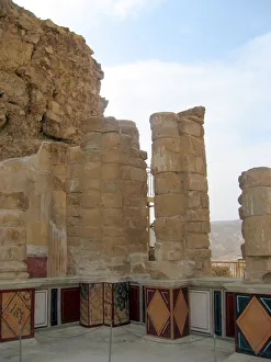
Masada, Israel. Ancient ruins. Remains of Northern Palace - Lower terrace of Masada National park in Judean desert, Israel. UNESCO World Heritage Site
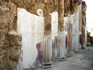
Masada, Israel. Ancient ruins with frescoed columns. UNESCO World Heritage Site