mail_outline sales@mediastorehouse.com
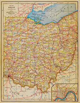
1883 Ohio State Map
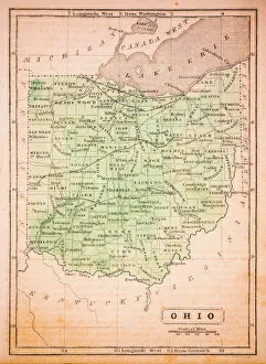
Ohio 1852 Map
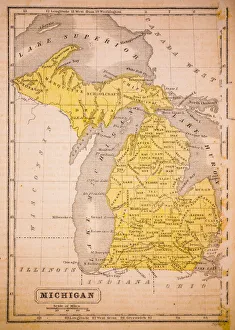
Michigan 1852 Map
Antquie Map of the United StatesVintage map of the United States of America from 1837
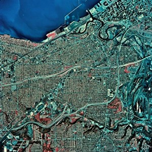
USA, Ohio, Cleveland and Lake Erie, satellite imagea014087
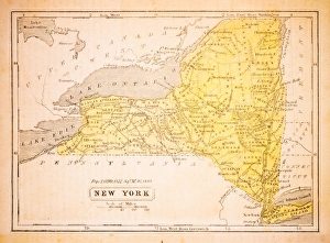
New York 1852 Map
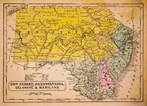
New Jersey, Pennsylvania, Delaware and Maryland 1852 Map
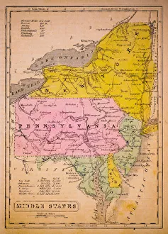
Middle States 1852 Map
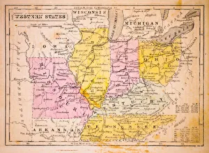
Western States 1852 Map
United States of America, Atlantic coast, lithograph, published in 1878United States of America, Atlantic coast. Lithograph, published in 1878
Buffalo waterfrontAbandoned grain factory on shore of Lake Erie
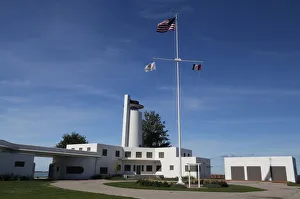
Historic Coast Guard Station, Cleveland, Ohio, USAAbandoned Historic Coast Guard Station on Whiskey Island, now a public park in the City of Cleveland
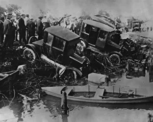
Wrecked Carscirca 1924: Several cars swept into Lake Erie during a tornado. Two of the occupants were drowned. (Photo by Topical Press Agency/Getty Images)