color image, colour image, day, daytime, faucet, groove, landscape, mashonaland north province
color image, colour image, day, daytime, faucet, groove, landscape, mas, Gallo Landscapes, 150006422
adrian, colour image, communication, day, field, horizontal, landscape, midpoint
adrian, colour image, communication, day, field, horizontal, landscape, Gallo Landscapes, 153939677
bird area, color image, day, gauteng, horizontal, landscape, marievale, marievale bird sanctuary
bird area, color image, day, gauteng, horizontal, landscape, marievale, Gallo Landscapes, 153939473
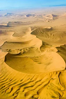
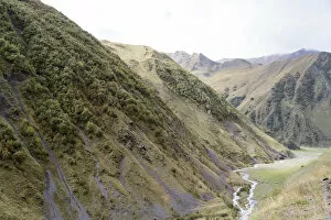
aerial view, eco tourism, landscape, namib desert, namibia, no people, scenics, soussvlei
aerial view, eco tourism, landscape, namib desert, namibia, no people, Gallo Landscapes, 166837819
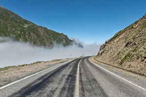
blue sky, clear sky, color image, day, fog, landscape, mist, mountain, mountain range
blue sky, clear sky, color image, day, fog, landscape, mist, mountain, m, Gallo Landscapes, 479700985
color image, day, fog, landscape, mist, mountain, mountain range, nature, no people
color image, day, fog, landscape, mist, mountain, mountain range, natur, Gallo Landscapes, 479700989
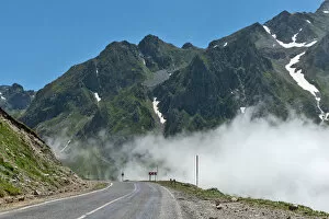
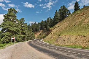
bend, clear sky, color image, curve, day, fog, landscape, mist, mountain, mountain range
bend, clear sky, color image, curve, day, fog, landscape, mist, mountain, Gallo Landscapes, 479700987
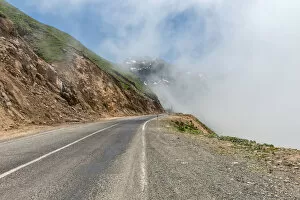
artvin, color image, day, fog, karakoy, landscape, mist, mountain, mountain range
artvin, color image, day, fog, karakoy, landscape, mist, mountain, mount, Gallo Landscapes, 479700977
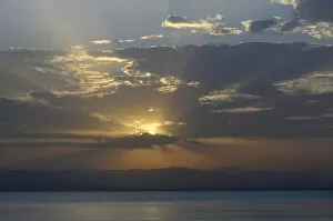
sunset, nature, water, lake, sunrise, reflection, landscape, sun, sky, sunlight, horizon
sunset, nature, water, lake, sunrise, reflection, landscape, sun, sky, su, Gallo Landscapes, 562875069
Color, Colour, Day, Full length, horizontal, Landscape, Namaqualand, no people, Northern
Color, Colour, Day, Full length, horizontal, Landscape, Namaqualand, no, Gallo Landscapes, 667586637