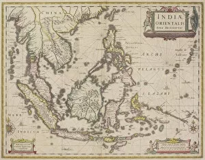
antique, archival, border, burma, cambodia, cartography, country, document, geography, historic, historical, india orientalis, indian ocean, indonesia, islands, latitude, legend, longitude, malaysia
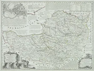
Antique county map of Somerset, England
nobody, map, antique, vintage, archival, document, historical, cartography, somerset, england, county, district, words, text, cartouches, title, geography, key, legend, scale, latitude, longitude
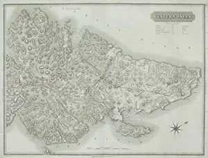
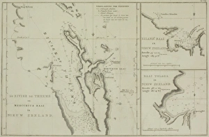
Antique map of the Western Isles off Scotland
antique, archival, border, cartography, coordinates, document, geography, historical, island, key, latitude, legend, longitude, map, nobody, orientation, outer hebrides, scale, scotland, uk
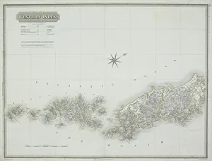
Antique map of the western isles
antique, archipelago, archival, azores, border, cartography, coordinates, document, geography, historical, islands, key, latitude, legend, longitude, map, nobody, orientation, scale, text, vintage
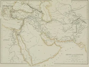
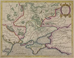
Antique map of the Empire of Alexander the Great
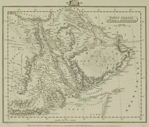
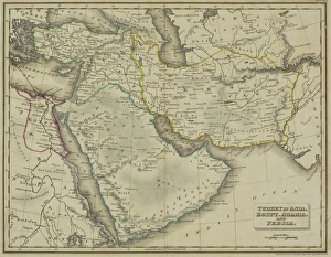
afghanistan, antique, arabia, arabian, azerbijan, black, border, cartography, caspian, coordinates, countries, document, empire of alexander the great, geography, historic, historical, iran, iraq
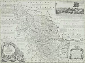
antique, archival, art, border, cartography, cartouche, coordinates, county, district, document, england, geography, historical, illustrations, inset, key, latitude, legend, longitude, map, nation
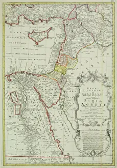
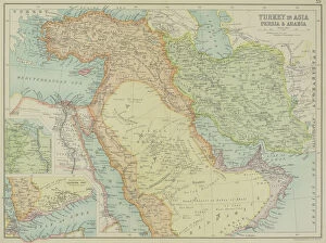
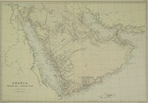
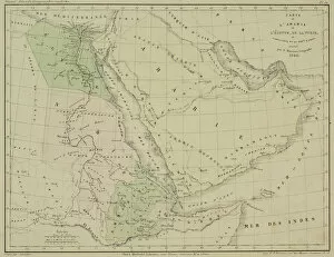
arabia, archival, asia, border, cartography, caspian sea, coordinates, document, geography, historic, historical, insets, iran, iraq, israel, jordan, latitude, legend, longitude, map, mediterranean
antique, archival, art, cartography, coordinates, county, district, document, geography, historical, illustration, inset, key, kincardineshire, lake, landscape, latitude, legend, loch, longitude
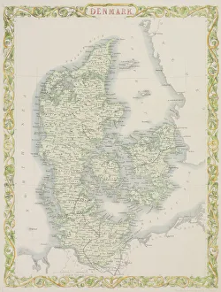
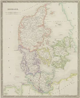
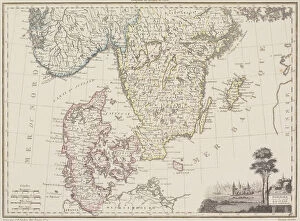
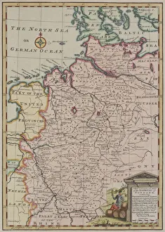
antique, archival, baltic, border, cartography, denmark, document, europe, european, finland, geography, historic, historical, latitude, longitude, map, nobody, north, norway, region, scale
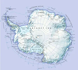
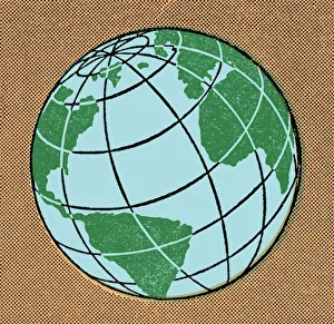
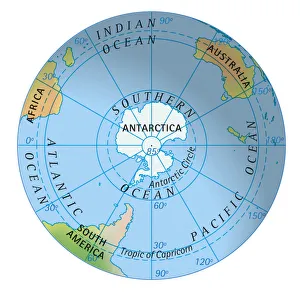
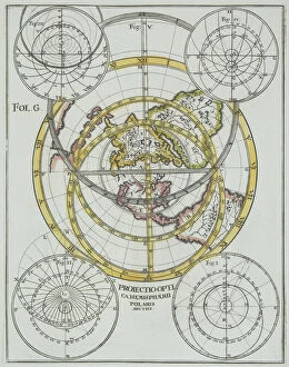
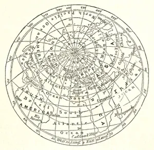
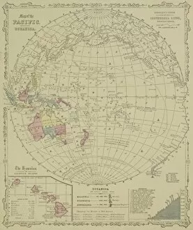
nobody, antique, vintage, archival, cartography, geography, map, history, historical, north pole, south pole, continents, world, earth, north america, south america, europe, africa, asia, australia
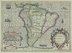
america meridionalis, animals, antique, archival, boat, border, cartography, cartouche, chart, city, continent, coordinates, elegant, fancy, fauna, fish, geography, historic, historical, inset, key
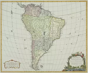
antiquity, archival, atlantic ocean, cartography, colonialism, continent, geographical, geography, historic, latitude, longitude, map, new world, nobody, old-fashioned, pacific ocean, south america