mail_outline sales@mediastorehouse.com
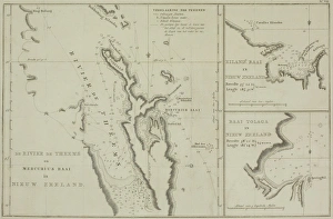
Antique charts of New Zealand
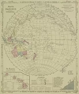
Antique map of Pacific Oceanica with inset of islands
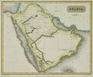
Antique map of Arabia and adjacent Africa and Persia
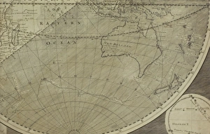
Antique map of Indian Ocean in southern hemisphere
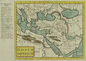
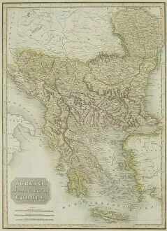
Antique map of the Turkish Empire
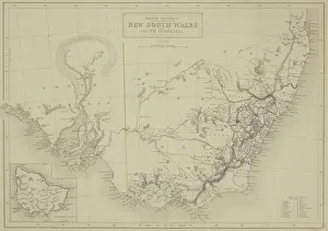
Antique map of New South Wales in Australia with inset
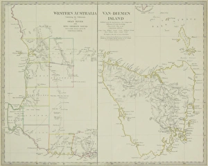
Paired antique maps of Western Australia and Van Diemen Island
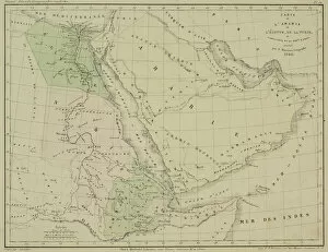
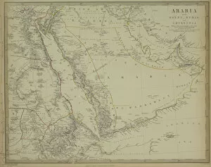
Antique map of Arabia with Egypt, Nubia, and Abyssinia
Antique map of Turkish dominions in Europe
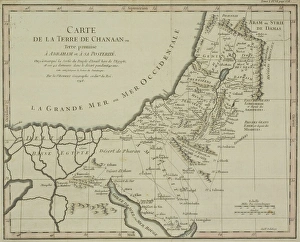
Antique map of holy land with Nile River Delta
Antique map of Arabia
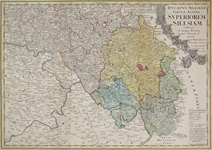
Antique map of Silesia
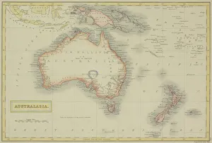
Antique map of Australasia
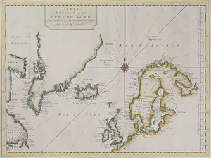
Antique map of Scandinavian region with Iceland and Greenland
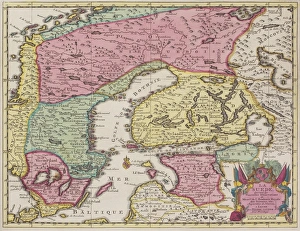
Antique map of Sweden and adjacent countries
Map of Korea, ChinaAntique illustration of a Map of Korea, China
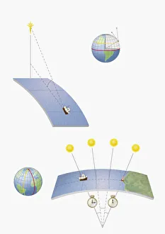
Illustration of methods of navigation, determining latitude and longitude by various means, includin
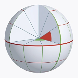
Illustration of coordinate system on cross-section globe
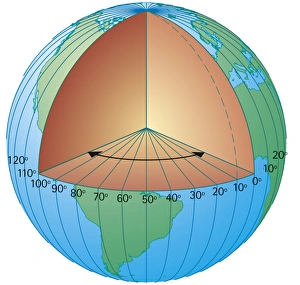
Digital cross section illustration of showing the lines of longitude measured from the centre of the Earth
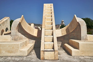
Sundials of Jaipur, IndiaBetter known as Jantar Mantar, these Sundials built by King Sawai Jai Singh. They were used to accurately calculate time at various points on earth etc