mail_outline sales@mediastorehouse.com
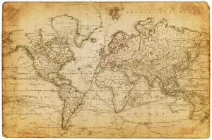
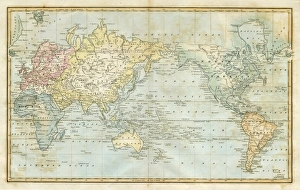
Map of the world 1800
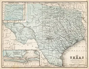
Map of Texas 1867Mitchells Modern Atlas - Published by E.H. Buttler & Co - Philadelphia 1867
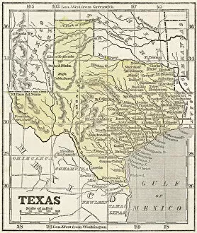
Map of Texas 1855System of Geography for the use of schools by Sidney E. Morse - Published by Harper & Brothers - New York 1855
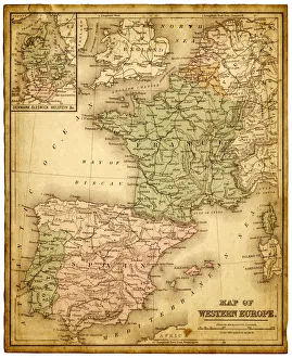
western europe 1867a map of Western europe from 1867, overlay with grunge burnt texture paper
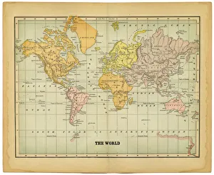
world map 1883map of the world - 1883
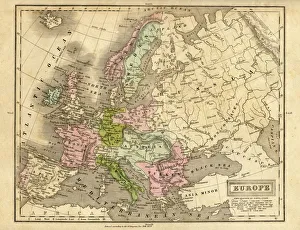
europe map 1829an old map form 1829, showing the whole europe
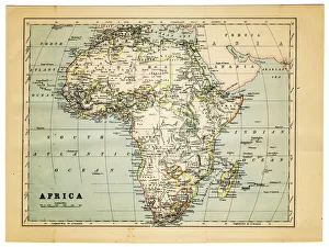
map of africa 1882Part Of, Grunge, Burnt, Rusty, Rust, Torn, Retro Revival, Old-fashioned, Africa, Sepia Toned, Map, Cartography, Physical Geography, Direction, Sea, Atlantic Ocean, Paper, Textured Effect
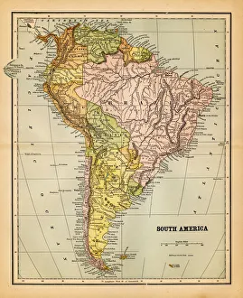
south america 1883an old south american map (1883)
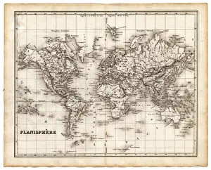
map of the world 1842map of the world from an old french atlas, with its original stained borders - 1842
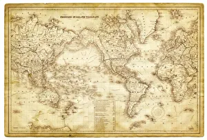
map of the world 1864map of the world - 1864, showing proposed overland telegraph lines
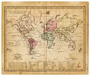
map of the world 1855map of the world illustrating the principal features of the land and the co-tidal lines - 1855
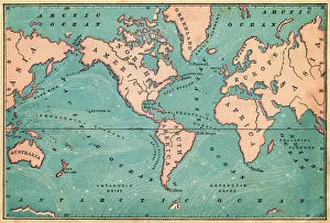
Ocean Currents Map 1876map to illustrate ocean currents dated 1876 showing the continuous, directed movement of sea water generated by a number of forces acting upon the water
map of the world 1823map of the world - 1823 very detailed lithography
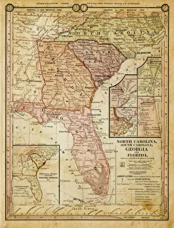
usa - southern states 1884map of north carolina, south carolina, georgia and florida 1884