mail_outline sales@mediastorehouse.com
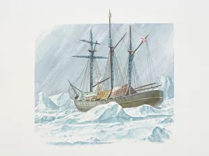
Fridtjof Nansens 1893 ship the Fram frozen into ice
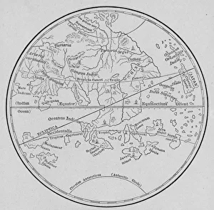
Toscanellis Map Of WorldToscanellis world map, showing Europe and India facing each other, omitting the Americas, 15th century. (Kean Collection/Getty Images)
Map Of Eastern Hemisphere, 1492Map of the Eastern Hemisphere from Behaims Globe, 1492. (Kean Collection/Getty Images)
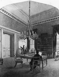
Map Roomcirca 1850: Gentlemen consulting charts in the map room of the United Service Club, Pall Mall, London. An engraving by H Melville after L L Jewett. (Photo by Hulton Archive/Getty Images)
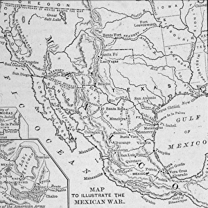
Map Illustrating Mexican-American WarA map of the Western United States and Mexico, illustrating the Mexican-American War (1845-1847). (Engraving by Kean Collection/Getty Images)
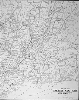
Map Of Greater New York In 1890sMap of the greater New York area, late 1890s. Engraving by E. F. Fisk. (Photo by Kean Collection/Getty Images)
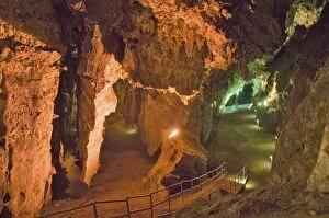
Lighted caves of Cradle of Humankind, a World Heritage Site in Gauteng Province, South Africa, the site of 2.8 million year old early hominid fossil and Mrs. Ples
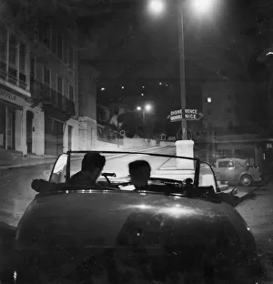
Which Way ?1949: Two of the competitors in the Monte Carlo Road Race check their maps en route for Monte Carlo. Original Publication: Picture Post - 4708 - Monte Carlo Road Race - unpub