mail_outline sales@mediastorehouse.com
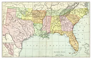
Map of Southern States USA 1895The Rand-McNally Grammar School Geography 1895 - Chicago & New York
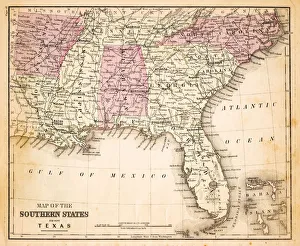
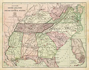
Map of Southern States USA 1877Warrens Common School Geography 1877
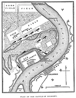
Battle of BelmontVintage engraving from 1863 of a map of the Battle of Belmont which was fought on November 7, 1861, in Mississippi County, Missouri. It was the first combat test in the American Civil War for Brig
The Forest" The forests on the banks of the Mississippi. Engraving from 1870. Engraving by Gustave Dore, Photo by D Walker."
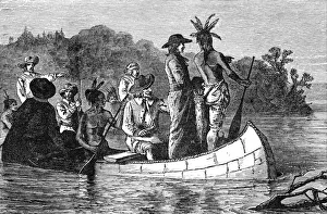
Marquette and Joliet discovering the Mississippi
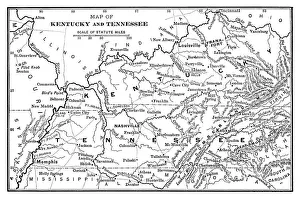
Map of Kentucky and Tennessee - Scanned 1886 Map
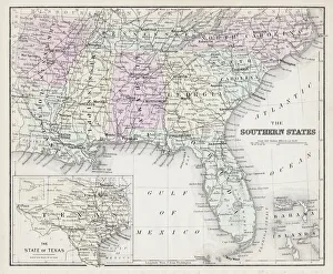
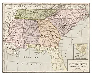
Map of Southern states USA 1883Warrens Common School Geography
USA Southern states map 1889Indiana Educational Series The Complete Geography - Indianapolis 1889
Drawing Map of Southern states USA 1883Warrens Common School Geography
Antquie Map of the United StatesVintage map of the United States of America from 1837
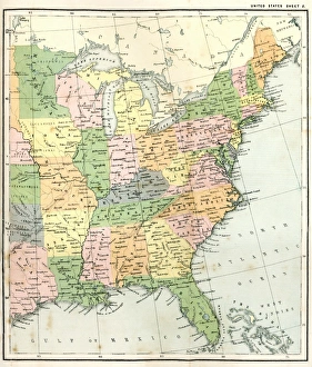
Antique Map of Eastern USAAntique Map from 1867 of Eastern United States of America
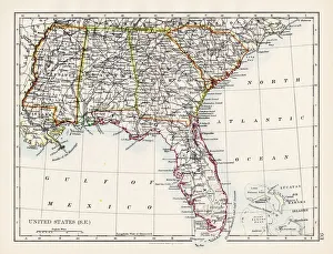
United States South East map 1897The World-Wide Atlas of Modern Geography, Political and Physical W. & A.K. Johnston - London 1897
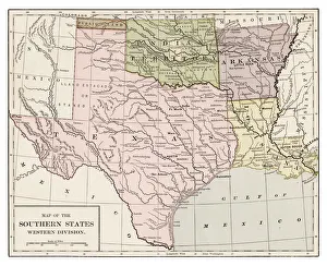
Southern states western division 1889Indiana Educational Series The Complete Geography - Indianapolis 1889
Map EngravingsFine Art Storehouse Maps: Map Engravings
Mississippi steamboats alongside the Levee, New OrleansVintage engraving of Mississippi steamboats alongside the Levee, New Orleans, 19th Century
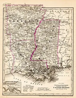
Arkansas Louisiana Pississippi map 1881Coltons Common School Geography 1881 New York Sheldon and Co
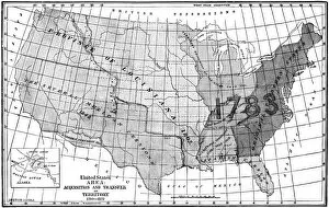
United States area: Acquisition and transfer of territory 1780 to 1870United States area: Acquisition and transfer of territory 1780 to1870
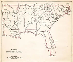
Southern States 1852 Map
United States 1852 Map
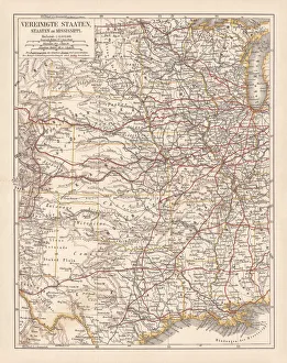
United States of America, States on Mississippi river, lithograph published 1878United States of America, States on the Mississippi river. Lithograph, published in 1878
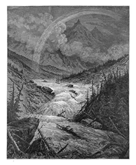
The tributaries of the Mississippi engraving by Gustave Dore
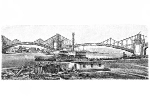
Mississippi bridge at St. Louis during the construction
United States of America mapAntique illustration of a United States of America map
Illustration of Mark Twains Mississippi paddle boat
Mississippi Riverboatcirca 1930: A riverboat on the Mississippi. (Photo by General Photographic Agency/Getty Images)