mail_outline sales@mediastorehouse.com
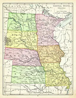
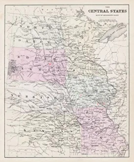
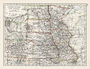
Map of central states USA 1895The Rand-McNally Grammar School Geography 1895 - Chicago & New York
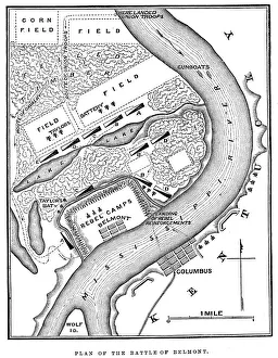
Battle of BelmontVintage engraving from 1863 of a map of the Battle of Belmont which was fought on November 7, 1861, in Mississippi County, Missouri. It was the first combat test in the American Civil War for Brig
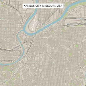
Kansas City Missouri US City Street MapVector Illustration of a City Street Map of Kansas City, Missouri, USA. Scale 1:60, 000. All source data is in the public domain. U.S
Independence Missouri US City Street MapVector Illustration of a City Street Map of Independence, Missouri, USA. Scale 1:60, 000. All source data is in the public domain. U.S
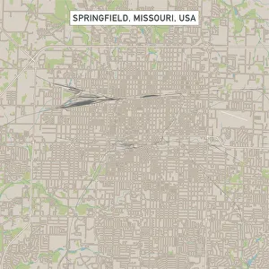
Springfield Missouri US City Street MapVector Illustration of a City Street Map of Springfield, Missouri, USA. Scale 1:60, 000. All source data is in the public domain. U.S
Baltimore oriole (Icterus galbula), lithograph, published in 1882Baltimore oriole (Icterus galbula). Lithograph, published in 1882
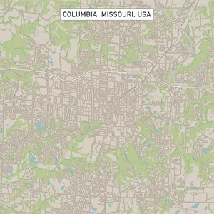
Columbia Missouri US City Street MapVector Illustration of a City Street Map of Columbia, Missouri, USA. Scale 1:60, 000. All source data is in the public domain. U.S
Map of central States USA 1877Warrens Common School Geography 1877
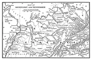
Map of Kentucky and Tennessee - Scanned 1886 Map
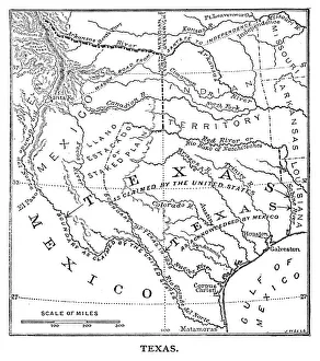
Old Texas Map - Scanned 1887 map
United States NW Central 1897The World-Wide Atlas of Modern Geography, Political and Physical W. & A.K. Johnston - London 1897
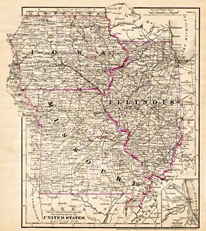
Iowa Missouri Illinois map 1881Coltons Common School Geography 1881 New York Sheldon and Co
Antquie Map of the United StatesVintage map of the United States of America from 1837
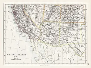
United States South West map 1897The World-Wide Atlas of Modern Geography, Political and Physical W. & A.K. Johnston - London 1897
Southern States 1852 Map
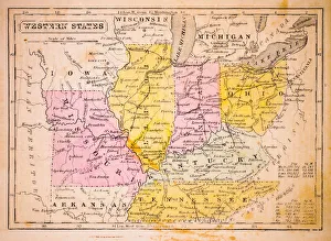
Western States 1852 Map
United States 1852 Map
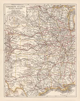
United States of America, States on Mississippi river, lithograph published 1878United States of America, States on the Mississippi river. Lithograph, published in 1878
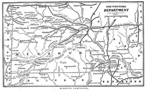
Missouri CampaignsVintage engraving from 1863 of a map of the Missouri Campaigns from the time of the American Civil War
States USA map 1875The Independent Course Comprehensive Geography by James Monteith, A.S. Barnes & Co, New York & Chicago 1875
Routes of travel in the United States map 1875The Independent Course Comprehensive Geography by James Monteith, A.S. Barnes & Co, New York & Chicago 1875
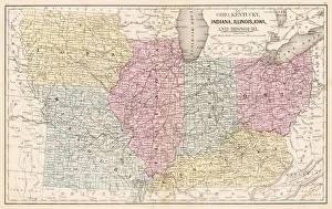
Ohio Indiana Illinois map 1867Mitchellas Modern Atlas - Published by E.H. Butler and Co - Philadelphia 1867
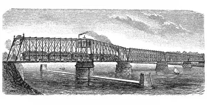
Bridge over Missouri riverAntique illustration of Bridge over Missouri river
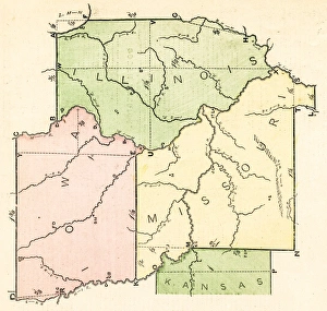
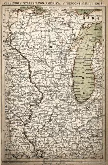
United States of America, Wisconsin, IllinoisAntique illustration of United States of America, Wisconsin, Illinois map
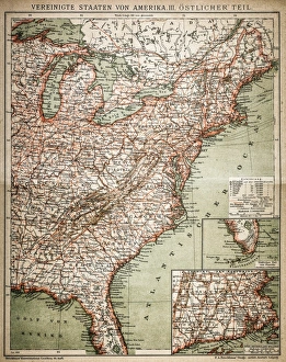
United States of America, eastern partAntique illustration of a United States of America, eastern part
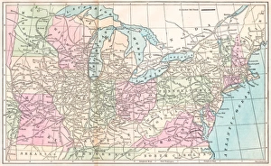
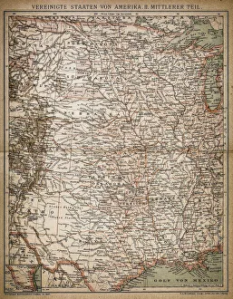
United States of America, Middle sectionAntique illustration of a United States of America, Middle section
United States of America mapAntique illustration of a United States of America map
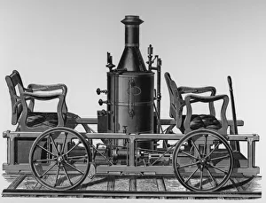
Steam Inpection CarIllustration of a steam inspection car designed and constructed by Mr. Jay Noble, master mechanic for M. M. Buck & Co. of St. Louis, Missouri in 1876. (Photo by Kean Collection/Getty Images)
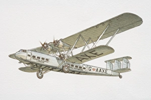
Four engine biplane in flight