
Nation Collection

Background imageNation Collection: Antique map of Russia

Antique map of Russia

Background imageNation Collection: Antique map of Denmark

Antique map of Denmark

Background imageNation Collection: Flag of Togo

Flag of Togo

Background imageNation Collection: Antique map of Denmark

Antique map of Denmark

Background imageNation Collection: Flag of Zambia

Flag of Zambia

Background imageNation Collection: Mexico, ancient map, lithograph, published in 1877

Mexico, ancient map, lithograph, published in 1877
Ancient map of Mexico. Lithograph, published in 1877

Background imageNation Collection: Flag of Israel

Flag of Israel

Background imageNation Collection: Outline and flag of Luxembourg, 3D

Outline and flag of Luxembourg, 3D

Background imageNation Collection: 16th century, antique, archival, bangladesh, banner, bay of bengal, border, cartography

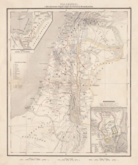
16th century, antique, archival, bangladesh, banner, bay of bengal, border, cartography, ceylon, country, document, geography, historic, historical, india, indian ocean, latitude, legend, map

Background imageNation Collection: Antique map of Algeria and Tunisia

Antique map of Algeria and Tunisia

Background imageNation Collection: antique, archival, border, burma, cambodia, cartography, country, document, geography

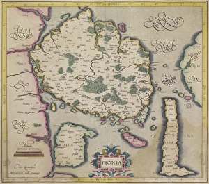
antique, archival, border, burma, cambodia, cartography, country, document, geography, historic, historical, india orientalis, indian ocean, indonesia, islands, latitude, legend, longitude, malaysia

Background imageNation Collection: Map of Palestine and Jerusalem, lithograph, published in 1881

Map of Palestine and Jerusalem, lithograph, published in 1881
Detailed topographic map of Palestine and Jerusalem. Facsimile from my archive, published in 1881

Background imageNation Collection: Map of Morocco

Map of Morocco

Background imageNation Collection: antique, archival, art, border, cartography, cartouche, coordinates, county, district

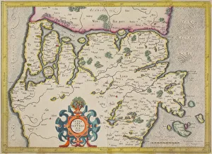
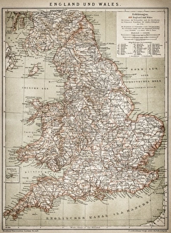
antique, archival, art, border, cartography, cartouche, coordinates, county, district, document, england, geography, historical, illustrations, inset, key, latitude, legend, longitude, map, nation

Background imageNation Collection: Antique Map of Europe 1744

Antique Map of Europe 1744
An engraved map of Europe with ornamental cartouche and relief shown pictorially by Emanuel Bowen 1744, London, Geographer to His Majesty

Background imageNation Collection: Outline and flag of France, 3D

Outline and flag of France, 3D

Background imageNation Collection: Outline and flag of Italy, 3D

Outline and flag of Italy, 3D

Background imageNation Collection: Outline and flag of England, 3D

Outline and flag of England, 3D

Background imageNation Collection: Outline and flag of Australia, 3D

Outline and flag of Australia, 3D

Background imageNation Collection: Shape and national flag of Azerbaijan, 3D computer graphics

Shape and national flag of Azerbaijan, 3D computer graphics

Background imageNation Collection: Shape and national flag of the Republic of Chad, 3D computer graphics

Shape and national flag of the Republic of Chad, 3D computer graphics

Background imageNation Collection: Flag of Canada

Flag of Canada

Background imageNation Collection: Flag of Denmark

Flag of Denmark

Background imageNation Collection: Outline and flag of Belgium, 3D

Outline and flag of Belgium, 3D

Background imageNation Collection: Outline and flag of the Netherlands, 3D

Outline and flag of the Netherlands, 3D

Background imageNation Collection: Outline and flag of Barbados, 3D

Outline and flag of Barbados, 3D

Background imageNation Collection: Shape and national flag of Croatia, 3D computer graphics

Shape and national flag of Croatia, 3D computer graphics

Background imageNation Collection: Shape and national flag of South Korea, 3D computer graphics

Shape and national flag of South Korea, 3D computer graphics

Background imageNation Collection: Shape and national flag of Colombia, 3D computer graphics

Shape and national flag of Colombia, 3D computer graphics

Background imageNation Collection: Shape and national flag of Senegal, levitating, 3D computer graphics

Shape and national flag of Senegal, levitating, 3D computer graphics

Background imageNation Collection: Flag of Barbados

Flag of Barbados

Background imageNation Collection: Flag of El Salvador

Flag of El Salvador

Background imageNation Collection: Flag of Japan

Flag of Japan

Background imageNation Collection: Flag of the Organisation of Islamic Cooperation, OIC

Flag of the Organisation of Islamic Cooperation, OIC

Background imageNation Collection: Germany Flag, Reichstag, Bundestag, Berlin, Germany

Germany Flag, Reichstag, Bundestag, Berlin, Germany

Background imageNation Collection: antique, border, cartography, country, document, french, geography, historic, historical

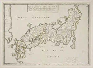
antique, border, cartography, country, document, french, geography, historic, historical, island, japan, legend, map, nation, nobody, royaume du japon, scale, text, vintage, words, Antique Maps

Background imageNation Collection: Map of Palestine, steel engraving, published in1861

Map of Palestine, steel engraving, published in1861
Ancient topographic map of Palestine and seperate map of Jerusalem in three eras: 1) Judges 2) Juda and Israel, 3) Maccabees to Titus (70 AD)

Background imageNation Collection: Antique map of island of Fionia in Denmark

Antique map of island of Fionia in Denmark

Background imageNation Collection: Antique map of Denmark and vicinity

Antique map of Denmark and vicinity

Background imageNation Collection: Map of Denmark and Iceland, lithograph, published in 1881

Map of Denmark and Iceland, lithograph, published in 1881
Topographic map of Denmark and Iceland. Facsimile, published in 1881

Background imageNation Collection: Rangoon

Rangoon
Antique illustration of Rangoon

Background imageNation Collection: England and Wales

England and Wales
Antique map of England and Wales

Background imageNation Collection: Antique map of Germany

Antique map of Germany from 1815

Background imageNation Collection: Potsdam and environment

Potsdam and environment
Antique illustration of a Potsdam and environment

Background imageNation Collection: Political outline map of Africa

Political outline map of Africa from 1898

Background imageNation Collection: Germany 1547

Germany 1547
Antique map of Germany from 1547

Background imageNation Collection: Maputo Bay

Maputo Bay
Antique map of Maputo Bay (BaAia de Maputo), formerly Delagoa Bay, BaAia da Lagoa (in Portuguese) is an inlet of the Indian Ocean on the coast of Mozambique

Background imageNation Collection: Germany

Germany
Antique map of Germany from 1648


All Professionally Made to Order for Quick Shipping