mail_outline sales@mediastorehouse.com
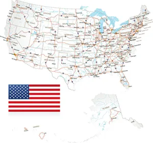
Highly detailed USA Road MapHighly detailed map of United States with roads, states, big cities, rivers and some other objects
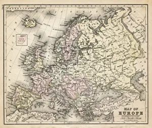
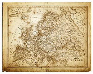
old map of european old map form 1883, showing european countries
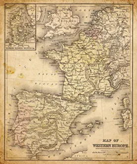
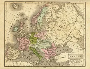
western europe map 1883a map of Western europe from 1883
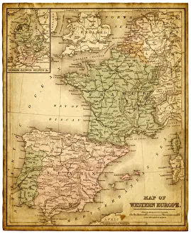
western europe 1867a map of Western europe from 1867, overlay with grunge burnt texture paper
old map of central european old map form 1870, showing central europe countries
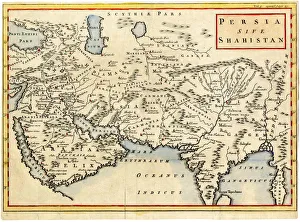
Antique map of Persia and Arabia 1730Original antique copper engraved map by H. Moll, titled Persia Sive Shahistana, published in 1747 for the Universal History (London, T. Osborne & J. Shipton, 8 vols. 1747)
europe map 1829an old map form 1829, showing the whole europe
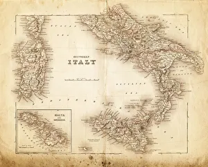
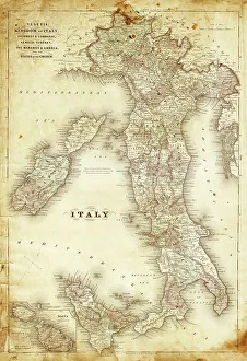
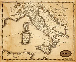
map of italy 1855an old map of southern italy (inset showing malta) - 1855
map of italy 1863an old map of italy - 1863
map of italy 1812an old map of italy - 1812
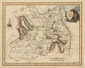
Antique map of Queens County IrelandThis map was made in 1837, just 10 years before the disaster of the Great Famine in 1847. 1837 is a particularly significant time in Irelands history at the period of the historically highest
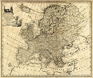
Antique Map of Europe 1744An engraved map of Europe with ornamental cartouche and relief shown pictorially by Emanuel Bowen 1744, London, Geographer to His Majesty
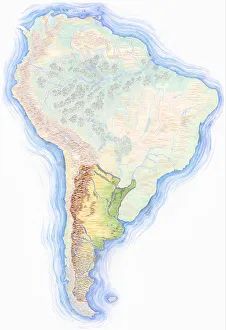
Highly detailed hand-drawn map of Argentina within the outline of South America with a compass rose and the equator
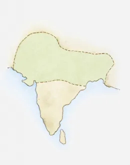
Illustration, map of India with Mauryan Empire highlighted in green
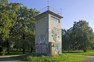
Historic watchtower of the former GDR, East Germany, Treptow district, Berlin, Germany, Europe
North Carolina, NC, highlighted on a contour map of USA, United States of America, 3D illustration
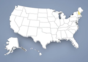
State of New York, NY, highlighted on a contour map of USA, United States of America, 3D illustration
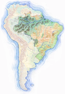
Highly detailed hand-drawn map of Brazil within the outline of South America with a compass rose and the equator
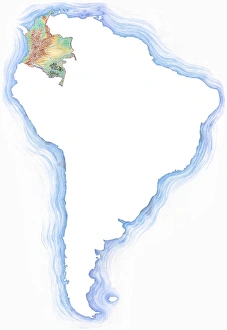
Highly detailed hand-drawn map of Colombia within the outline of South America with a compass rose and the equator
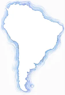
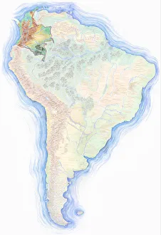
Highly detailed hand-drawn map of South America with Argentina highlighted
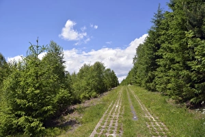
Green Belt, former inner-German border patrol path with the overgrown death strip, Rennsteig, Lehesten, Thuringia, Germany
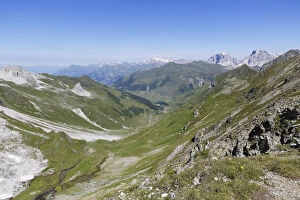
Gafital valley, Praettigau, Raetikon mountain range, Graubuenden or Grisons, Switzerland, view from Gafierjoch on the border to Austria