mail_outline sales@mediastorehouse.com
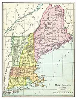
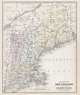
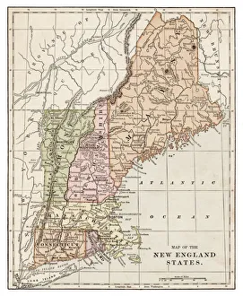
Map of New England states 1895The Rand-McNally Grammar School Geography 1895 - Chicago & New York
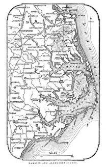
Map of Pamlico and Albemarle SoundsVintage engraving from 1863 of a map of Map of Pamlico and Albemarle Sounds at the time of the American Civil War
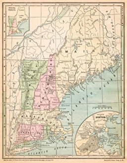
USA New England states map 1875The Independent Course Comprehensive Geography by James Monteith, A.S. Barnes & Co, New York & Chicago 1875
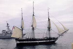
USS Constitution, Old Ironsides, Boston, Massachusettsbattleship, boat, boston, coast, day, historic, marine transportation, massachusetts, massachusetts. atlantic ocean, mast, military, nautical, navy, new england, north america, ocean, old
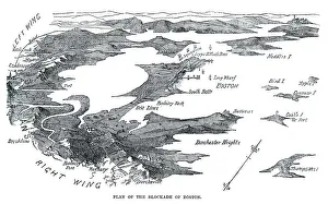
Blockade of BostonVintage engraving from 1861 showing the Plan of the Blockade of Boston during the American Revolutionary War
Toddlers In Field Of Daisies. They Wear Fancy Clothes Dress And SuitUNITED STATES - CIRCA 1950s: Toddlers In Field Of Daisies. They Wear Fancy Clothes Dress And Suit. The Girl Holds Daisy Bouquet While The Boy Pulls Daisy Petals For Loves Me Not Game
Blue Jay on a branchBird on branch with snowy fall foliage tree background
Map of New England 1877Warrens Common School Geography 1877
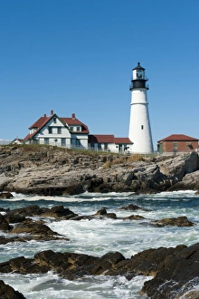
Lighthouse, waves breaking on rocks, Portland Head Light, Cape Elizabeth, Portland, Maine, New England, USA, North America
Antquie Map of the United StatesVintage map of the United States of America from 1837
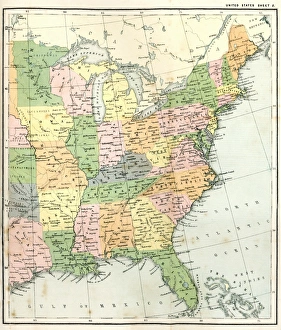
Antique Map of Eastern USAAntique Map from 1867 of Eastern United States of America
Corbis CollectionFine Art Storehouse Corbis Collection
New England States map 1889Indiana Educational Series The Complete Geography - Indianapolis 1889
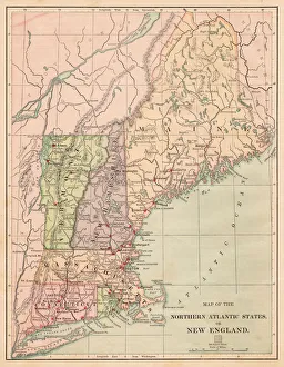
USA Northern Atlantic states 1881Harpers School Geography, New York, Harpers and Brothers, 1881
Vintage Map of New York at the beginning of the 18th Century. from 1880
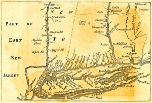
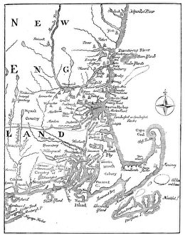
Vintage Map of New England at the beginning of the 18th century
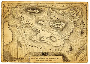
Plan of action at the Battle on Breeds HillVintage engraving of the Plan of action at the Battle of Breeds Hill (also known as the Battle of Bunker Hill), Near Boston on 17th June 1775. Part of the American War of IndependenceView more:
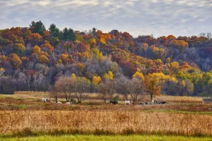
Fall colors in rural WisconsinA hillside in fall colors with a meadow below. Holstein / bovine cows grazing on a rural farm field
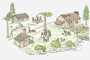
Illustration of New England pilgrim settlement
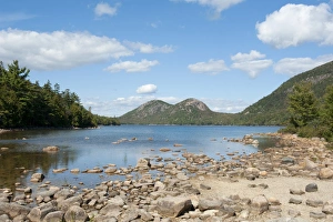
View from the shore over Jordan Pond towards The Bubbles Mountains, Acadia National Park, Mount Desert Island, Maine, New England, USA, North America
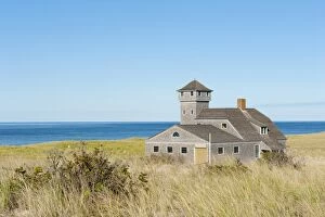
Race Point Beach, Old Harbor Life-Saving Station Museum, dune on the Atlantic Ocean, nature reserve, Cape Cod National Seashore, Massachusetts, New England, USA, North America, America
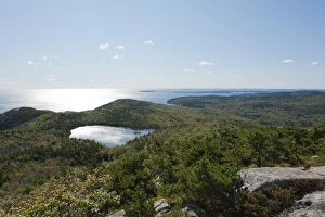
Forest and sea views from the summit of Champlain Mountain, 328 m, over The Bowl lake, hiking trail, Bear Brook Trail, Acadia National Park, Maine, New England, USA, North America