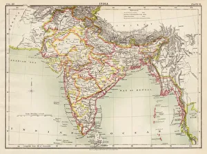
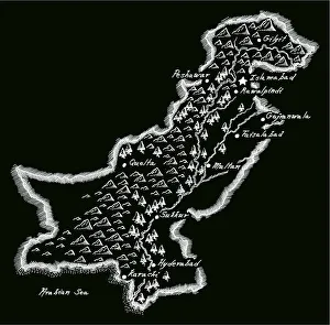
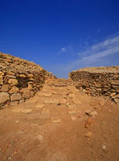
16th century, antique, archival, bangladesh, banner, bay of bengal, border, cartography, ceylon, country, document, geography, historic, historical, india, indian ocean, latitude, legend, map
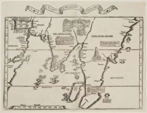
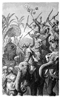
Antique map of the Empire of Alexander the Great
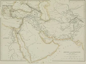
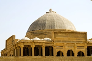
afghanistan, antique, arabia, arabian, azerbijan, black, border, cartography, caspian, coordinates, countries, document, empire of alexander the great, geography, historic, historical, iran, iraq
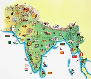
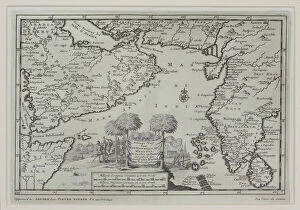
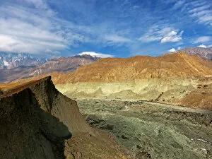
africa, antique, arabian sea, archival, asia, borders, boundaries, cartography, countries, geography, gulf of aden, historic, horn, illustration, india, indian ocean, iran, key, legend, map