mail_outline sales@mediastorehouse.com
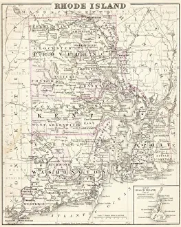
Rhode Island map 1877Warrens Common School Geography 1877
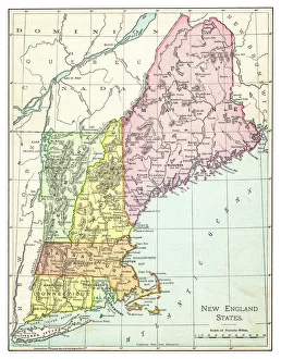
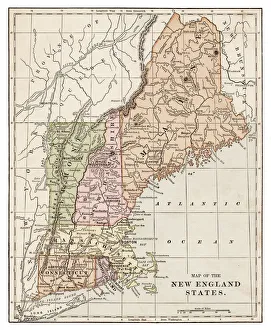
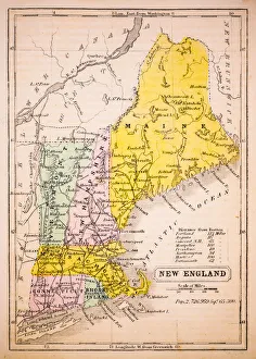
Map of New England states 1895The Rand-McNally Grammar School Geography 1895 - Chicago & New York
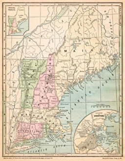
USA New England states map 1875The Independent Course Comprehensive Geography by James Monteith, A.S. Barnes & Co, New York & Chicago 1875
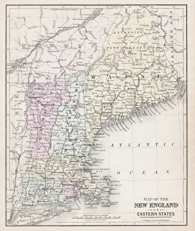
Map of New England 1877Warrens Common School Geography 1877
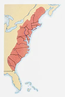
Illustration of states on East Coast of the USA
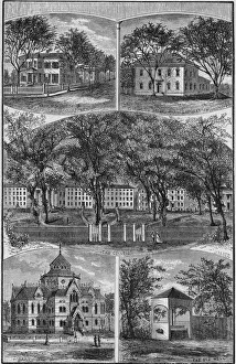
Engraving Of Brown University Campus BuildingsEngraving of buildings on the Brown University campus, Providence, Rhode Island, 1880s. Clockwise from top left: the presidents house, the laboratory, the colleges, the Old Well, and the library
New England States map 1889Indiana Educational Series The Complete Geography - Indianapolis 1889
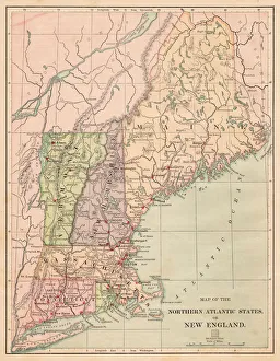
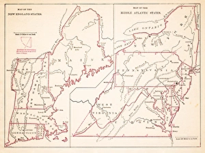
USA Northern Atlantic states 1881Harpers School Geography, New York, Harpers and Brothers, 1881
Map of Maine and Vermont1883Warrens Common School Geography
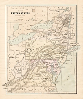
Map of Middle states USA 1883Warrens Common School Geography
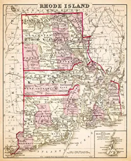
Map of Rhode Island USA 1883Warrens Common School Geography
New England States USA map 1881Coltons Common School Geography 1881 New York Sheldon and Co
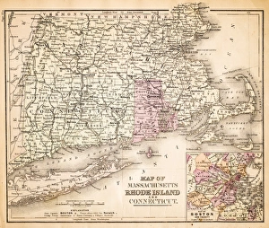
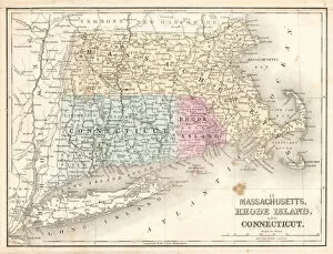
Rhode Island Massachusetts Connecticut 1867Mitchells Modern Atlas - Published by E.H. Buttler & Co - Philadelphia 1867
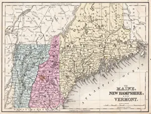
Maine New Hampshire and Vermont 1867Mitchells Modern Atlas - Published by E.H. Buttler & Co - Philadelphia 1867
Maine New Hampshire and Connecticut 1856Colton and Fitchs Modern School Geography by George W. Fitch - New York 1856
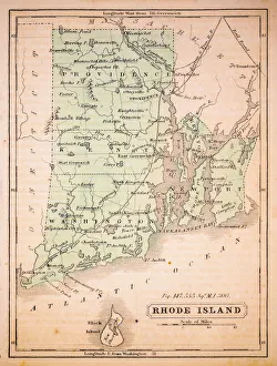
Rhode Island 1852 Map
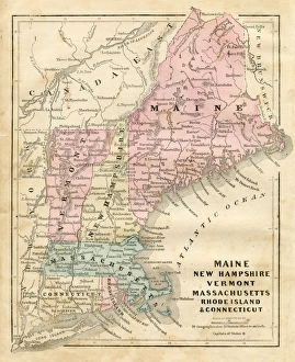
New England 1852 Map
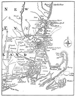
Vintage Map of New England at the beginning of the 18th century
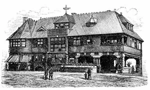
Country house in NewportAntique illustration of a Country house in Newport, Rhode Island
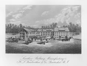
Leather FactoryIllustration of H. L. Fairbrother and Co leather belting factory in Pawtucket, Rhode Island circa. 1880. (Photo by Kean Collection/Getty Images)
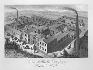
Rubber FactoryIllustration of the National Rubber Company factory in Bristol, Rhode Island circa. 1880. (Photo by Kean Collection/Getty Images)