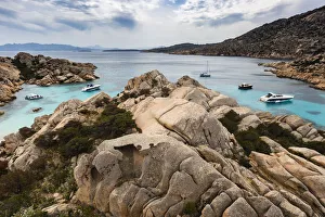
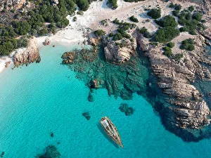
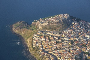
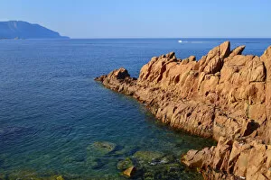
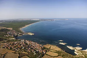
Boats in rocky cove, Maddalena Archipelago, Provincia di Olbia-Tempio, Italy
archipelago, beach, blue, boat, calm, cloud, color image, cove, day, europe, high angle view, hill, horizontal, inlet, italy, maddalena archipelago, mediterranean sea, national park, nobody, ocean