mail_outline sales@mediastorehouse.com
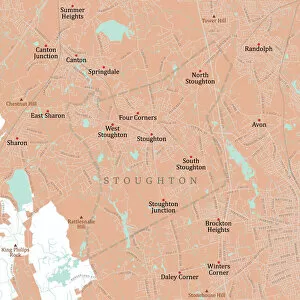
MA Norfolk Stoughton Vector Road Map. All source data is in the public domain. U.S. Census Bureau Census Tiger. Used Layers: areawater, linearwater, roads, rails, cousub, pointlm, uac10
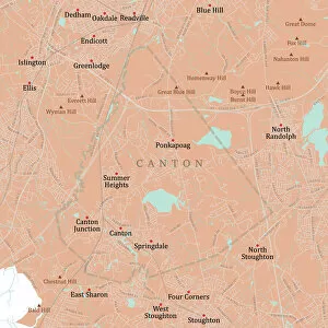
MA Norfolk Canton Vector Road Map. All source data is in the public domain. U.S. Census Bureau Census Tiger. Used Layers: areawater, linearwater, roads, rails, cousub, pointlm, uac10
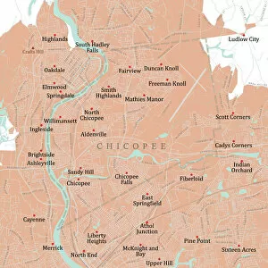
MA Hampden Chicopee Vector Road Map. All source data is in the public domain. U.S. Census Bureau Census Tiger. Used Layers: areawater, linearwater, roads, rails, cousub, pointlm, uac10
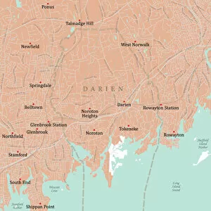
CT Fairfield Darien Vector Road Map. All source data is in the public domain. U.S. Census Bureau Census Tiger. Used Layers: areawater, linearwater, roads, rails, cousub, pointlm, uac10
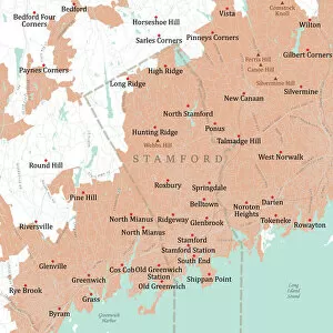
CT Fairfield Stamford Vector Road Map. All source data is in the public domain. U.S. Census Bureau Census Tiger. Used Layers: areawater, linearwater, roads, rails, cousub, pointlm, uac10
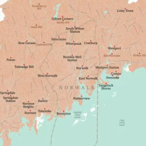
CT Fairfield Norwalk Vector Road Map. All source data is in the public domain. U.S. Census Bureau Census Tiger. Used Layers: areawater, linearwater, roads, rails, cousub, pointlm, uac10
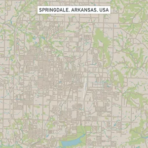
Springdale Arkansas US City Street MapVector Illustration of a City Street Map of Springdale, Arkansas, USA. Scale 1:60, 000. All source data is in the public domain. U.S
Dream Canyon, The Subway, Zion National Park UtahThe Subway is a colloquial name for a uniquely shaped slot canyon in Zion National Park. It is located between two peaks called the North and South Guardian Angels
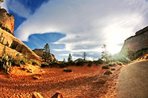
Desert canyon at sunrise in Zion National Park Utah
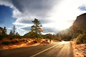
Sunrise flashbackSun burst out between thick clouds on early morning sunrise drive through Zion national park in Spring dale, United States