mail_outline sales@mediastorehouse.com
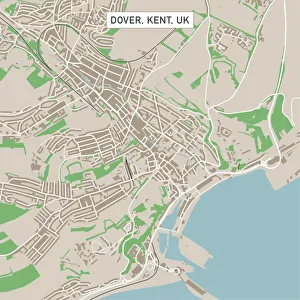
Dover Kent UK City Street MapVector Illustration of a City Street Map of Dover, Kent, UK. Included files are EPS (v10) and Hi-Res JPG. Data courtesy from Ordnance Survey: VectorMap District https
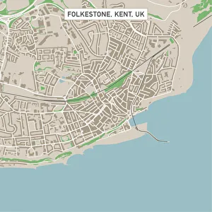
Folkestone Kent UK City Street MapVector Illustration of a City Street Map of Folkestone, Kent, UK. Included files are EPS (v10) and Hi-Res JPG. Data courtesy from Ordnance Survey: VectorMap District https
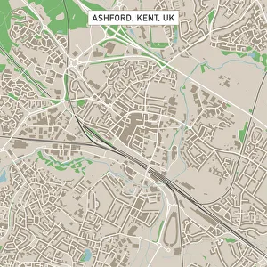
Ashford Kent UK City Street MapVector Illustration of a City Street Map of Ashford, Kent, UK. Included files are EPS (v10) and Hi-Res JPG. Data courtesy from Ordnance Survey: VectorMap District https
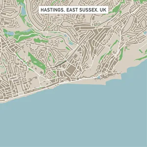
Hastings East Sussex UK City Street MapVector Illustration of a City Street Map of Hastings, East Sussex, UK. Included files are EPS (v10) and Hi-Res JPG. Data courtesy from Ordnance Survey: VectorMap District https
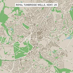
Royal Tunbridge Wells Kent UK City Street MapVector Illustration of a City Street Map of Royal Tunbridge Wells, Kent, UK. Included files are EPS (v10) and Hi-Res JPG. Data courtesy from Ordnance Survey: VectorMap District https
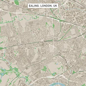
Ealing London UK City Street MapVector Illustration of a City Street Map of Ealing, London, UK. Included files are EPS (v10) and Hi-Res JPG. Data courtesy from Ordnance Survey: VectorMap District https
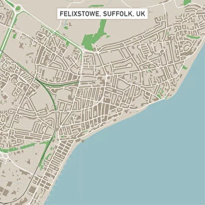
Felixstowe Suffolk UK City Street MapVector Illustration of a City Street Map of Felixstowe, Suffolk, UK. Included files are EPS (v10) and Hi-Res JPG. Data courtesy from Ordnance Survey: VectorMap District https
Clacton-on-Sea Essex UK City Street MapVector Illustration of a City Street Map of Clacton-on-Sea, Essex, UK. Included files are EPS (v10) and Hi-Res JPG. Data courtesy from Ordnance Survey: VectorMap District https
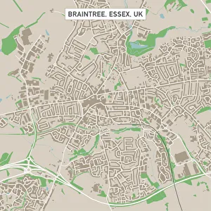
Braintree Essex UK City Street MapVector Illustration of a City Street Map of Braintree, Essex, UK. Included files are EPS (v10) and Hi-Res JPG. Data courtesy from Ordnance Survey: VectorMap District https
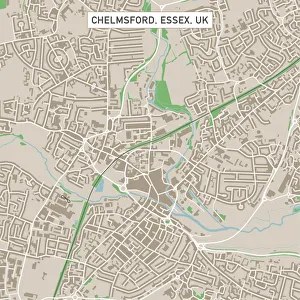
Chelmsford Essex UK City Street MapVector Illustration of a City Street Map of Chelmsford, Essex, UK. Included files are EPS (v10) and Hi-Res JPG. Data courtesy from Ordnance Survey: VectorMap District https
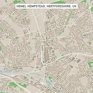
Hemel Hempstead Hertfordshire UK City Street MapVector Illustration of a City Street Map of Hemel Hempstead, Hertfordshire, UK. Included files are EPS (v10) and Hi-Res JPG
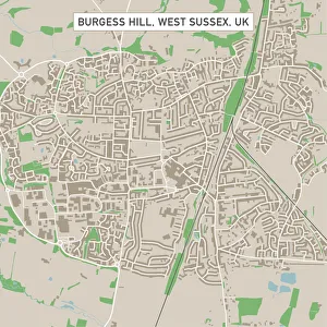
Burgess Hill West Sussex UK City Street MapVector Illustration of a City Street Map of Burgess Hill, West Sussex, UK. Included files are EPS (v10) and Hi-Res JPG. Data courtesy from Ordnance Survey: VectorMap District https
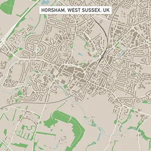
Horsham West Sussex UK City Street MapVector Illustration of a City Street Map of Horsham, West Sussex, UK. Included files are EPS (v10) and Hi-Res JPG. Data courtesy from Ordnance Survey: VectorMap District https
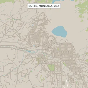
Butte Montana US City Street MapVector Illustration of a City Street Map of Butte, Montana, USA. Scale 1:60, 000. All source data is in the public domain. U.S
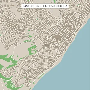
Eastbourne East Sussex UK City Street MapVector Illustration of a City Street Map of Eastbourne, East Sussex, UK. Included files are EPS (v10) and Hi-Res JPG. Data courtesy from Ordnance Survey: VectorMap District https
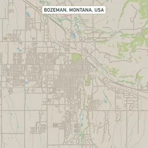
Bozeman Montana US City Street MapVector Illustration of a City Street Map of Bozeman, Montana, USA. Scale 1:60, 000. All source data is in the public domain. U.S
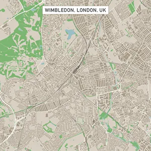
Wimbledon London UK City Street MapVector Illustration of a City Street Map of Wimbledon, London, UK. Included files are EPS (v10) and Hi-Res JPG. Data courtesy from Ordnance Survey: VectorMap District https
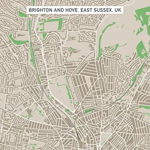
Brighton And Hove East Sussex UK City Street MapVector Illustration of a City Street Map of Brighton And Hove, East Sussex, UK. Included files are EPS (v10) and Hi-Res JPG
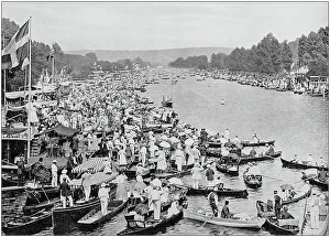
Antique black and white photograph of England and Wales: Henley Regatta
Arco de Santa Catalina Street (Santa Catalina Arch) Antigua GuatemalaSanta Catalina's Arch or Arco de Santa Catalina is probably the most iconic place in Antigua Guatemala, it was was built in 1693 - 1694 to allow nuns to cross the street without being seen
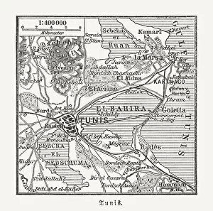
Map of Tunis and surroundings, Tunisia, wood engraving, published 1897Historical map of Tunis and surroundings - capital city of Tunisia. Wood engraving, published in 1897
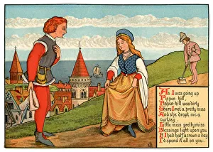
As I Was Going Up Pippen Hill - Victorian nursery rhyme illustrationA young man dressed in medieval attire greeting a young lady who is dropping a curtsey. Meanwhile, a man with a broom sweeps Pippen Hills footpath
Square crop of Ploce GateThe main entrance into the old town from the east, Ploce Gate, like Pile Gate, is a 15th-century stone bridge with a wooden drawbridge and a stone arch bearing a statue of St Blaise
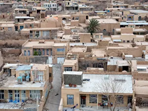
Alley in adobe Yazd old town, IranYazd is an ancient desert city in central Iran and the capital of the Yazd province. Since 2017 its listed by UNESCO as a world heritage
Meybod houses, central IranMeybod is a major desert city in Yazd Province, Iran. It is an ancient city that goes back to pre-Islamic arena and, hence, is the home to many ancient points of interests
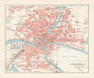
City map of KAonigsberg, Germany (Kaliningrad, Russia), lithograph, published 1897City map of the former Prussian city KAonigsberg, Germany (today Kaliningrad, Russia). Lithograph, published in 1897
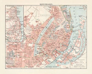
City map of Copenhagen, capital of Denmark, lithograph, published 1897City map of Copenhagen, capital city of Denmark. Lithograph, published in 1897
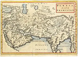
Antique map of Persia and Arabia 1730Original antique copper engraved map by H. Moll, titled Persia Sive Shahistana, published in 1747 for the Universal History (London, T. Osborne & J. Shipton, 8 vols. 1747)
Historical map of Cape Town; South Africa, wood engraving, published 1897Historical map of Cape Town; South Africa. Wood engraving, published in 1897
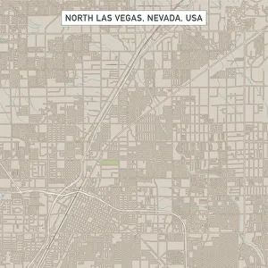
North Las Vegas Nevada US City Street MapVector Illustration of a City Street Map of North Las Vegas, Nevada, USA. Scale 1:60, 000. All source data is in the public domain. U.S
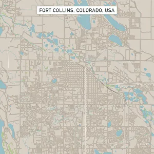
Fort Collins Colorado US City Street MapVector Illustration of a City Street Map of Fort Collins, Colorado, USA. Scale 1:60, 000. All source data is in the public domain. U.S
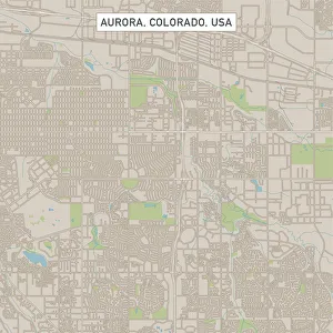
Aurora Colorado US City Street MapVector Illustration of a City Street Map of Aurora, Colorado, USA. Scale 1:60, 000. All source data is in the public domain. U.S
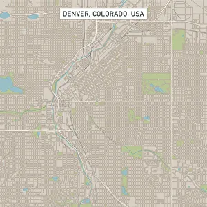
Denver Colorado US City Street MapVector Illustration of a City Street Map of Denver, Colorado, USA. Scale 1:60, 000. All source data is in the public domain. U.S
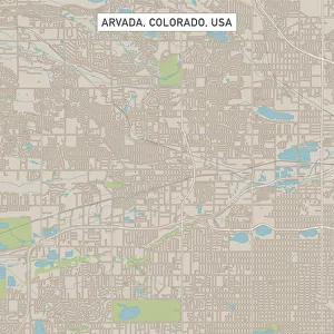
Arvada Colorado US City Street MapVector Illustration of a City Street Map of Arvada, Colorado, USA. Scale 1:60, 000. All source data is in the public domain. U.S
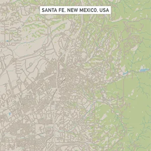
Santa Fe New Mexico US City Street MapVector Illustration of a City Street Map of Santa Fe, New Mexico, USA. Scale 1:60, 000. All source data is in the public domain. U.S
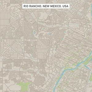
Rio Rancho New Mexico US City Street MapVector Illustration of a City Street Map of Rio Rancho, New Mexico, USA. Scale 1:60, 000. All source data is in the public domain. U.S
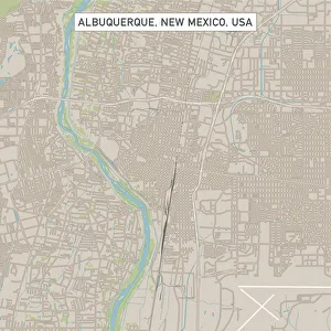
Albuquerque New Mexico US City Street MapVector Illustration of a City Street Map of Albuquerque, New Mexico, USA. Scale 1:60, 000. All source data is in the public domain. U.S
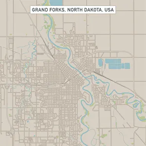
Grand Forks North Dakota US City Street MapVector Illustration of a City Street Map of Grand Forks, North Dakota, USA. Scale 1:60, 000. All source data is in the public domain. U.S
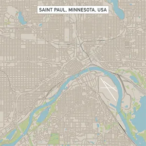
Saint Paul Minnesota US City Street MapVector Illustration of a City Street Map of Saint Paul, Minnesota, USA. Scale 1:60, 000. All source data is in the public domain. U.S
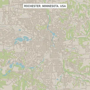
Rochester Minnesota US City Street MapVector Illustration of a City Street Map of Rochester, Minnesota, USA. Scale 1:60, 000. All source data is in the public domain. U.S
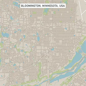
Bloomington Minnesota US City Street MapVector Illustration of a City Street Map of Bloomington, Minnesota, USA. Scale 1:60, 000. All source data is in the public domain. U.S
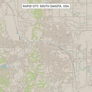
Rapid City South Dakota US City Street MapVector Illustration of a City Street Map of Rapid City, South Dakota, USA. Scale 1:60, 000. All source data is in the public domain. U.S
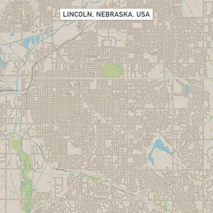
Lincoln Nebraska US City Street MapVector Illustration of a City Street Map of Lincoln, Nebraska, USA. Scale 1:60, 000. All source data is in the public domain. U.S
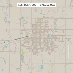
Aberdeen South Dakota US City Street MapVector Illustration of a City Street Map of Aberdeen, South Dakota, USA. Scale 1:60, 000. All source data is in the public domain. U.S
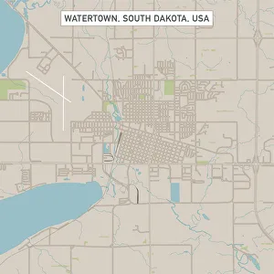
Watertown South Dakota US City Street MapVector Illustration of a City Street Map of Watertown, South Dakota, USA. Scale 1:60, 000. All source data is in the public domain. U.S
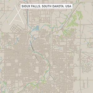
Sioux Falls South Dakota US City Street MapVector Illustration of a City Street Map of Sioux Falls, South Dakota, USA. Scale 1:60, 000. All source data is in the public domain. U.S
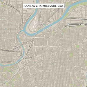
Kansas City Missouri US City Street MapVector Illustration of a City Street Map of Kansas City, Missouri, USA. Scale 1:60, 000. All source data is in the public domain. U.S
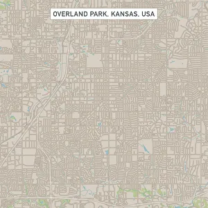
Overland Park Kansas US City Street MapVector Illustration of a City Street Map of Overland Park, Kansas, USA. Scale 1:60, 000. All source data is in the public domain. U.S