mail_outline sales@mediastorehouse.com
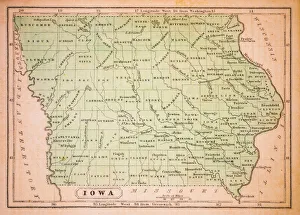
Iowa 1852 Map
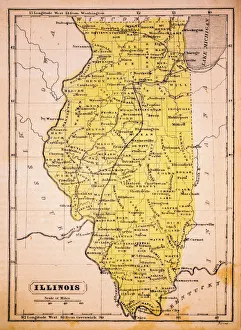
Illinois 1852 Map
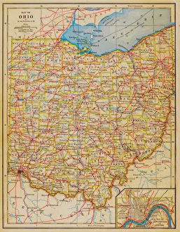
1883 Ohio State Map
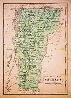
Vermont 1852 Map
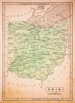
Ohio 1852 Map
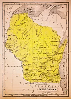
Wisconsin 1852 Map
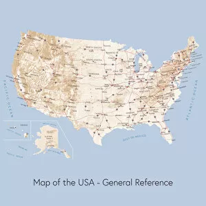
Map of the USA general referenceVector illustration of a map of the United States of America. The reference map used in the creation of this illustration is public domain map available at the University of Texas website: http
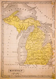
Michigan 1852 Map
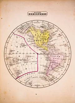
Western Hemisphere 1852 Map
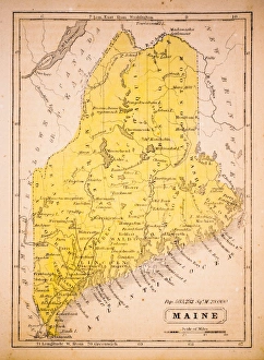
Maine 1852 Map
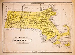
Massachusetts 1852 Map
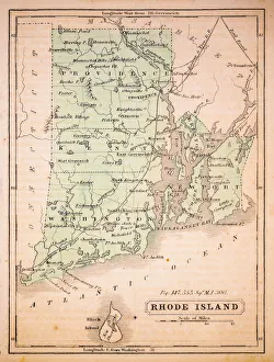
Rhode Island 1852 Map
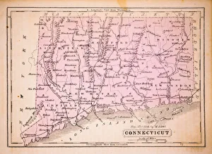
Connecticut 1852 Map
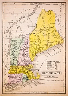
New England 1852 Map
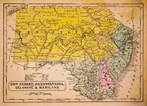
New Jersey, Pennsylvania, Delaware and Maryland 1852 Map
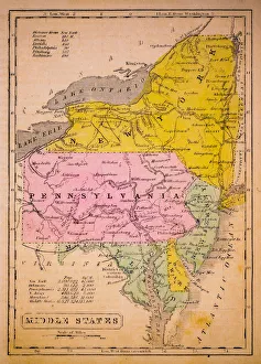
Middle States 1852 Map
Southern States 1852 Map
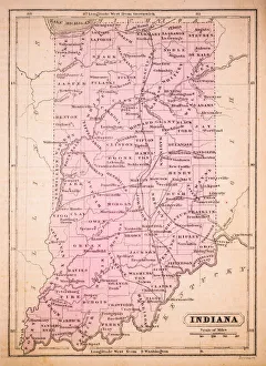
Indiana 1852 Map
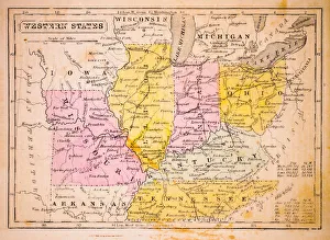
Western States 1852 Map
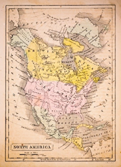
North America 1852 Map
United States 1852 Map
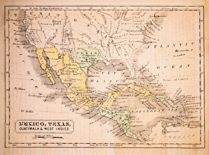
Mexico, Texas, Guatimala and West Indies 1852 Map
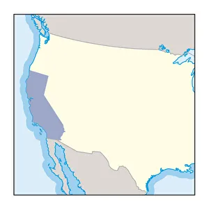
Digital illustration of wine growing region in California
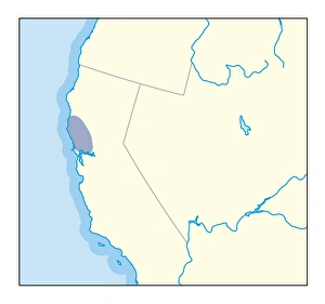
Digital illustration of wine growing region in northern California
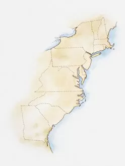
Illustration of coastline and borders from Maine to Georgia