mail_outline sales@mediastorehouse.com
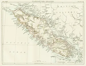
Vancouver island map 1885Encyclopedia Britannica 9th Edition New York Charles Scribners and Sons 1885 Vol XXIV
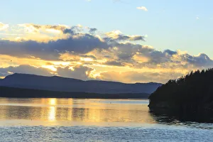
Ferry ride from Vancouver to Vancouver Island aboard BC Ferry, British Columbia, CanadaVancouver Island is in the north-eastern Pacific Ocean, just off the coast of Canada. It is part of the Canadian province of British Columbia
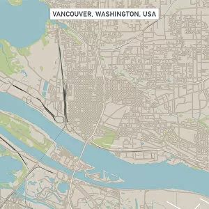
Vancouver Washington US City Street MapVector Illustration of a City Street Map of Vancouver, Washington, USA. Scale 1:60, 000. All source data is in the public domain. U.S
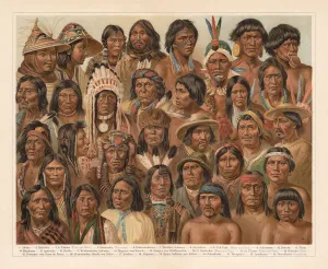
Amrican Native People, lithograph, published in 1897Amrican Native People: 1) Aleutian people; 2) Tlingit people (Koloschen, Koloshi); 3 - 4) Eskimos, man and wife; 5) Kowitschin people, Vancouver, Britisch-Columbia); 6) Absarokee (Crow Nation)
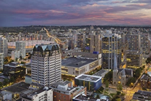
Vancouver BC Canada City at SunsetVancouver British Columbia Canada City Skyline with BC Place Stadium and Cambie Bridge at Sunset with Alpenglow Sky
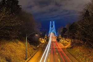
Lions gate bridge light trails
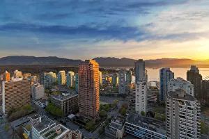
Vancouver city sunrise
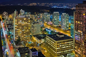
Nightlife on Robson StreetView of Robson Street in Vancouver BC at night from our room
Vancouver BC Cityscape at SunsetVancouver British Columbia Canada cityscape with Stanley Park and harbor view at sunset
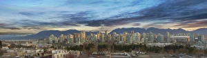
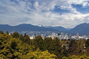
Vancouver BC SkylineVancouver British Columbia Canada city skyline daytime view from Queen Elizabeth Park
Night Life on the other End of Robson Street
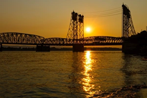
Golden Sunset Over Interstate BridgeGolden Sunset over Columbia Crossing I-5 Interstate Bridge between Oregon and Washington States
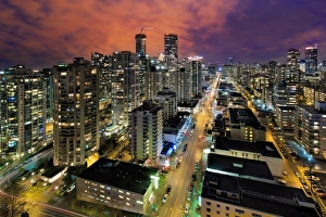
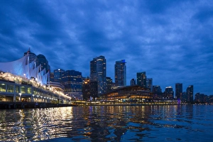
Skyline, Vancouver, BC, CanadaCanada, British Columbia, Vancouver, City skyline at dusk