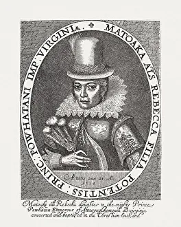
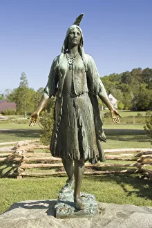
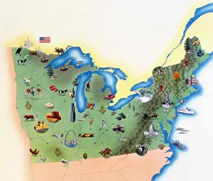
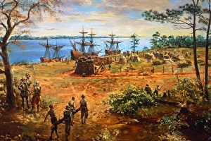
USA, Virginia, Jamestown, Pocahontas Statue
Easy Retouch, no people, vertical, outdoors, day, full length, human representation, female likeness, monument, historic, non-urban scene, usa, virginia, jamestown, pocahontas statue, pocahontas
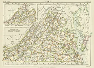
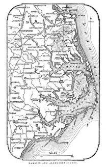
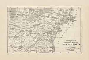
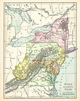
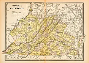
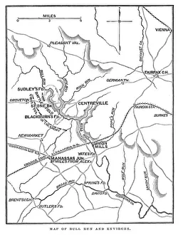
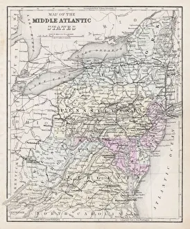
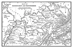
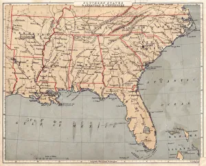
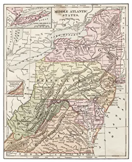
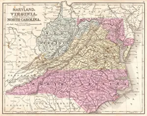
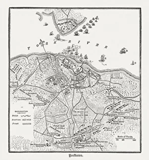
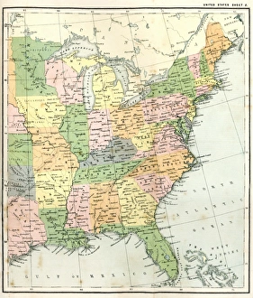
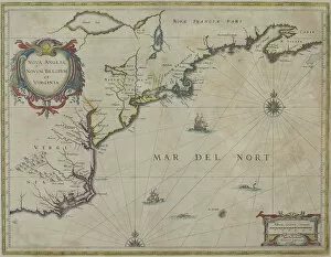
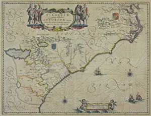
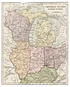
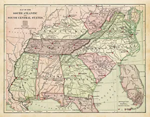
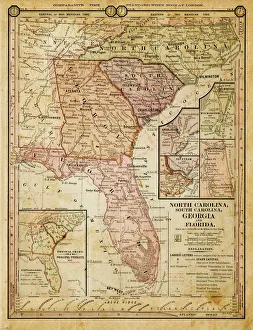
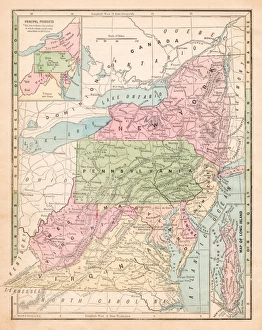
1647, antiquity, archival, cartography, colonial, colonialism, discovery, exploration, geographical, geography, historic, map, new world, nobody, north america, old-fashioned, settlement, text
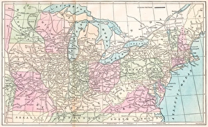
1647, antiquity, archival, cartography, colonialism, geographical, geography, historic, map, nobody, north america, old-fashioned, text, united states, vintage, virginia, Antique Maps, 89687377