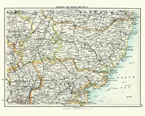
Antique map, Cambridge, Hertford, Essex, Suffolk, England 19th Century
Vintage engraving of a Antique map, Cambridge, Hertford, Essex, Suffolk, England 19th Century
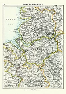
Antique map, Lancashire, Cheshire, Stafford, Liverpool, 19th Century
Vintage engraving of a Antique map, Lancashire, Cheshire, Stafford, Liverpool, Shropshire, Derby, England 19th Century
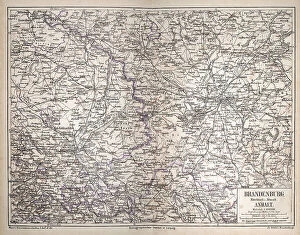
Vintage antique map of Brandenburg, Mittelmark u. Altmark, Anhalt, Germany, Berlin, Potsdam, 1870s 19th Century
Vintage antique map of Brandenburg, Mittelmark u. Altmark, Anhalt, Germany, Berlin, Ptsdam, 1870s 19th Century