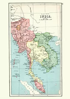
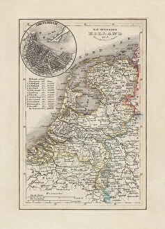
Antique map Burma, Thailand, Vietnam, Malaysia, 1897, late 19th Century
Vintage engraving of a Antique map of Burma, Thailand, Vietnam, Malaysia, 1897, late 19th Century
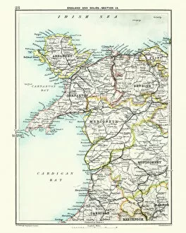
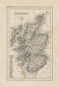
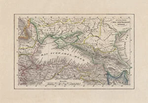
Antique map, North Wales, Anglesey, Carnarvon, 19th Century
Vintage engraving of a Antique map, North Wales, Anglesey, Carnarvon, Denbigh, Merionete, Montgomery19th Century