mail_outline sales@mediastorehouse.com
290 items
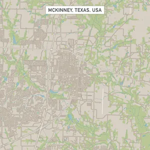
McKinney Texas US City Street MapVector Illustration of a City Street Map of McKinney, Texas, USA. Scale 1:60, 000. All source data is in the public domain. U.S
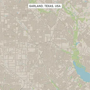
Garland Texas US City Street MapVector Illustration of a City Street Map of Garland, Texas, USA. Scale 1:60, 000. All source data is in the public domain. U.S
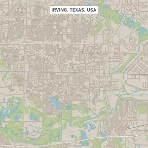
Irving Texas US City Street MapVector Illustration of a City Street Map of Irving, Texas, USA. Scale 1:60, 000. All source data is in the public domain. U.S
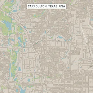
Carrollton Texas US City Street MapVector Illustration of a City Street Map of Carrollton, Texas, USA. Scale 1:60, 000. All source data is in the public domain. U.S
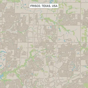
Frisco Texas US City Street MapVector Illustration of a City Street Map of Frisco, Texas, USA. Scale 1:60, 000. All source data is in the public domain. U.S
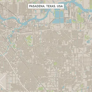
Pasadena Texas US City Street MapVector Illustration of a City Street Map of Pasadena, Texas, USA. Scale 1:60, 000. All source data is in the public domain. U.S
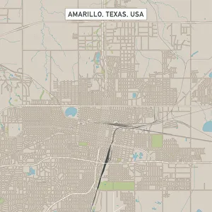
Amarillo Texas US City Street MapVector Illustration of a City Street Map of Amarillo, Texas, USA. Scale 1:60, 000. All source data is in the public domain. U.S
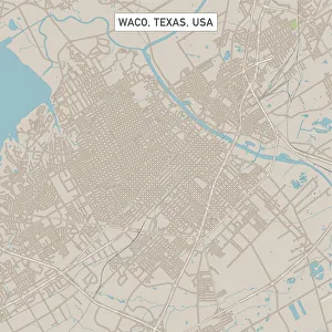
Waco Texas US City Street MapVector Illustration of a City Street Map of Waco, Texas, USA. Scale 1:60, 000. All source data is in the public domain. U.S
Grand Prairie Texas US City Street MapVector Illustration of a City Street Map of Grand Prairie, Texas, USA. Scale 1:60, 000. All source data is in the public domain. U.S
Mesquite Texas US City Street MapVector Illustration of a City Street Map of Mesquite, Texas, USA. Scale 1:60, 000. All source data is in the public domain. U.S
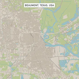
Beaumont Texas US City Street MapVector Illustration of a City Street Map of Beaumont, Texas, USA. Scale 1:60, 000. All source data is in the public domain. U.S
Round Rock Texas US City Street MapVector Illustration of a City Street Map of Round Rock, Texas, USA. Scale 1:60, 000. All source data is in the public domain. U.S
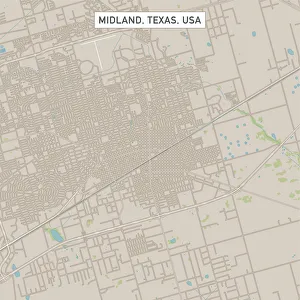
Midland Texas US City Street MapVector Illustration of a City Street Map of Midland, Texas, USA. Scale 1:60, 000. All source data is in the public domain. U.S
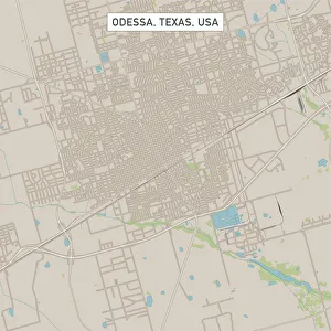
Odessa Texas US City Street MapVector Illustration of a City Street Map of Odessa, Texas, USA. Scale 1:60, 000. All source data is in the public domain. U.S
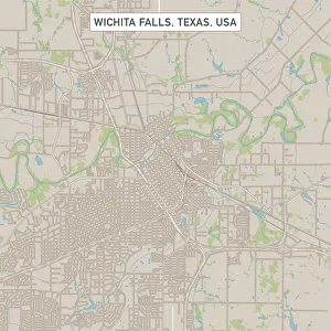
Wichita Falls Texas US City Street MapVector Illustration of a City Street Map of Wichita Falls, Texas, USA. Scale 1:60, 000. All source data is in the public domain. U.S
Denton Texas US City Street MapVector Illustration of a City Street Map of Denton, Texas, USA. Scale 1:60, 000. All source data is in the public domain. U.S
College Station Texas US City Street MapVector Illustration of a City Street Map of College Station, Texas, USA. Scale 1:60, 000. All source data is in the public domain. U.S
Pearland Texas US City Street MapVector Illustration of a City Street Map of Pearland, Texas, USA. Scale 1:60, 000. All source data is in the public domain. U.S
Richardson Texas US City Street MapVector Illustration of a City Street Map of Richardson, Texas, USA. Scale 1:60, 000. All source data is in the public domain. U.S
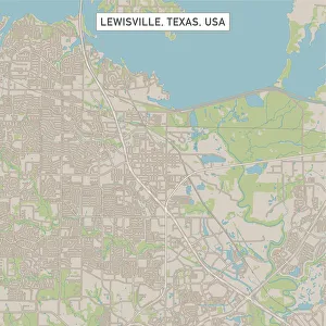
Lewisville Texas US City Street MapVector Illustration of a City Street Map of Lewisville, Texas, USA. Scale 1:60, 000. All source data is in the public domain. U.S
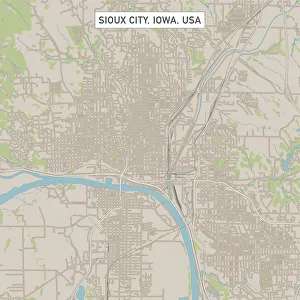
Sioux City Iowa US City Street MapVector Illustration of a City Street Map of Sioux City, Iowa, USA. Scale 1:60, 000. All source data is in the public domain. U.S
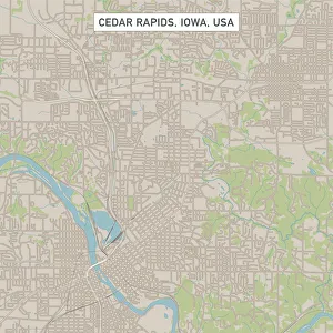
Cedar Rapids Iowa US City Street MapVector Illustration of a City Street Map of Cedar Rapids, Iowa, USA. Scale 1:60, 000. All source data is in the public domain. U.S
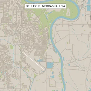
Bellevue Nebraska US City Street MapVector Illustration of a City Street Map of Bellevue, Nebraska, USA. Scale 1:60, 000. All source data is in the public domain. U.S
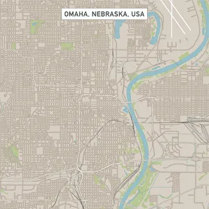
Omaha Nebraska US City Street MapVector Illustration of a City Street Map of Omaha, Nebraska, USA. Scale 1:60, 000. All source data is in the public domain. U.S
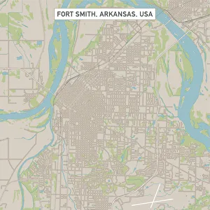
Fort Smith Arkansas US City Street MapVector Illustration of a City Street Map of Fort Smith, Arkansas, USA. Scale 1:60, 000. All source data is in the public domain. U.S
Fayetteville Arkansas US City Street MapVector Illustration of a City Street Map of Fayetteville, Arkansas, USA. Scale 1:60, 000. All source data is in the public domain. U.S
Springdale Arkansas US City Street MapVector Illustration of a City Street Map of Springdale, Arkansas, USA. Scale 1:60, 000. All source data is in the public domain. U.S
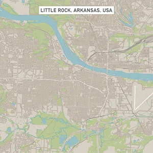
Little Rock Arkansas US City Street MapVector Illustration of a City Street Map of Little Rock, Arkansas, USA. Scale 1:60, 000. All source data is in the public domain. U.S
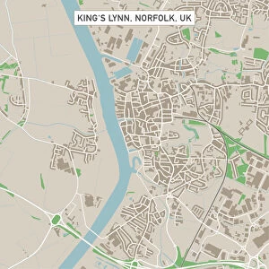
Kingas Lynn Norfolk UK City Street MapVector Illustration of a City Street Map of Kingas Lynn, Norfolk, UK. Included files are EPS (v10) and Hi-Res JPG. Data courtesy from Ordnance Survey: VectorMap District https
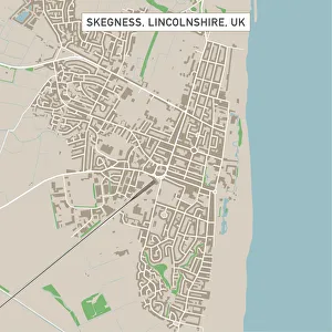
Skegness Lincolnshire UK City Street MapVector Illustration of a City Street Map of Skegness, Lincolnshire, UK. Included files are EPS (v10) and Hi-Res JPG. Data courtesy from Ordnance Survey: VectorMap District https
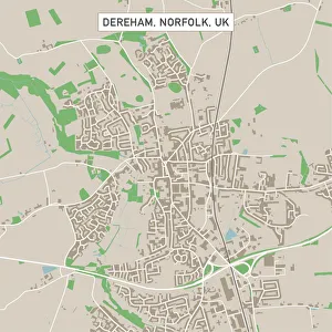
Dereham Norfolk UK City Street MapVector Illustration of a City Street Map of Dereham, Norfolk, UK. Included files are EPS (v10) and Hi-Res JPG. Data courtesy from Ordnance Survey: VectorMap District https
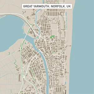
Great Yarmouth Norfolk UK City Street MapVector Illustration of a City Street Map of Great Yarmouth, Norfolk, UK. Included files are EPS (v10) and Hi-Res JPG. Data courtesy from Ordnance Survey: VectorMap District https
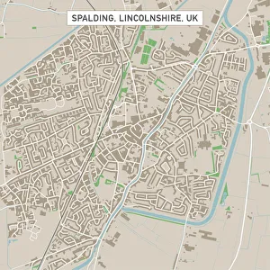
Spalding Lincolnshire UK City Street MapVector Illustration of a City Street Map of Spalding, Lincolnshire, UK. Included files are EPS (v10) and Hi-Res JPG. Data courtesy from Ordnance Survey: VectorMap District https
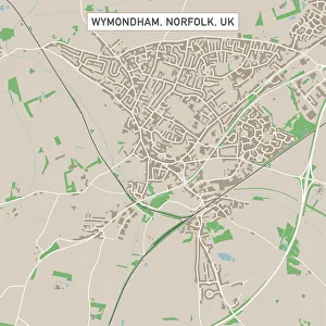
Wymondham Norfolk UK City Street MapVector Illustration of a City Street Map of Wymondham, Norfolk, UK. Included files are EPS (v10) and Hi-Res JPG. Data courtesy from Ordnance Survey: VectorMap District https
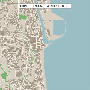
Gorleston-on-Sea Norfolk UK City Street MapVector Illustration of a City Street Map of Gorleston-on-Sea, Norfolk, UK. Included files are EPS (v10) and Hi-Res JPG. Data courtesy from Ordnance Survey: VectorMap District https
Wisbech Cambridgeshire UK City Street MapVector Illustration of a City Street Map of Wisbech, Cambridgeshire, UK. Included files are EPS (v10) and Hi-Res JPG. Data courtesy from Ordnance Survey: VectorMap District https
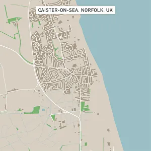
Caister-on-Sea Norfolk UK City Street MapVector Illustration of a City Street Map of Caister-on-Sea, Norfolk, UK. Included files are EPS (v10) and Hi-Res JPG. Data courtesy from Ordnance Survey: VectorMap District https
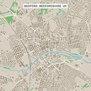
Bedford Bedfordshire UK City Street MapVector Illustration of a City Street Map of Bedford, Bedfordshire, UK. Included files are EPS (v10) and Hi-Res JPG. Data courtesy from Ordnance Survey: VectorMap District https
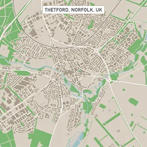
Thetford Norfolk UK City Street MapVector Illustration of a City Street Map of Thetford, Norfolk, UK. Included files are EPS (v10) and Hi-Res JPG. Data courtesy from Ordnance Survey: VectorMap District https
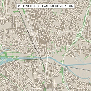
Peterborough Cambridgeshire UK City Street MapVector Illustration of a City Street Map of Peterborough, Cambridgeshire, UK. Included files are EPS (v10) and Hi-Res JPG
Cambridge Cambridgeshire UK City Street MapVector Illustration of a City Street Map of Cambridge, Cambridgeshire, UK. Included files are EPS (v10) and Hi-Res JPG. Data courtesy from Ordnance Survey: VectorMap District https
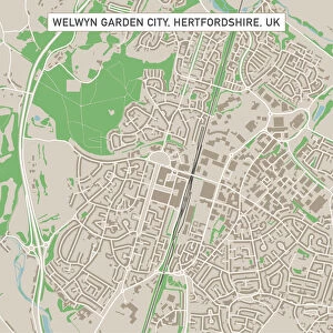
Welwyn Garden City Hertfordshire UK City Street MapVector Illustration of a City Street Map of Welwyn Garden City, Hertfordshire, UK. Included files are EPS (v10) and Hi-Res JPG
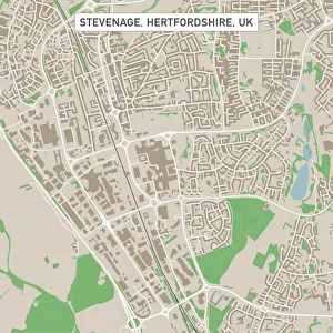
Stevenage Hertfordshire UK City Street MapVector Illustration of a City Street Map of Stevenage, Hertfordshire, UK. Included files are EPS (v10) and Hi-Res JPG. Data courtesy from Ordnance Survey: VectorMap District https
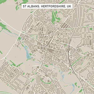
St Albans Hertfordshire UK City Street MapVector Illustration of a City Street Map of St Albans, Hertfordshire, UK. Included files are EPS (v10) and Hi-Res JPG. Data courtesy from Ordnance Survey: VectorMap District https
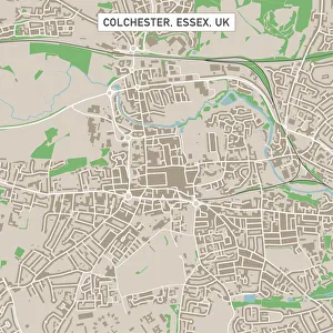
Colchester Essex UK City Street MapVector Illustration of a City Street Map of Colchester, Essex, UK. Included files are EPS (v10) and Hi-Res JPG. Data courtesy from Ordnance Survey: VectorMap District https
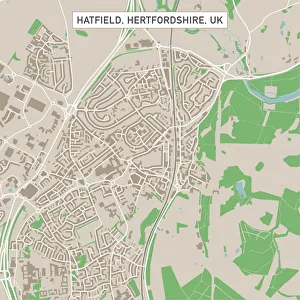
Hatfield Hertfordshire UK City Street MapVector Illustration of a City Street Map of Hatfield, Hertfordshire, UK. Included files are EPS (v10) and Hi-Res JPG. Data courtesy from Ordnance Survey: VectorMap District https
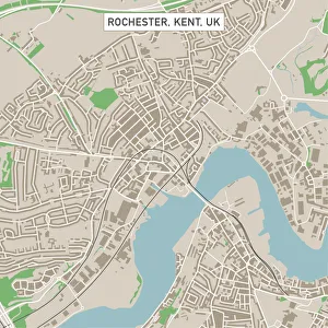
Rochester Kent UK City Street MapVector Illustration of a City Street Map of Rochester, Kent, UK. Included files are EPS (v10) and Hi-Res JPG. Data courtesy from Ordnance Survey: VectorMap District https
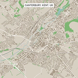
Canterbury Kent UK City Street MapVector Illustration of a City Street Map of Canterbury, Kent, UK. Included files are EPS (v10) and Hi-Res JPG. Data courtesy from Ordnance Survey: VectorMap District https