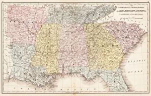
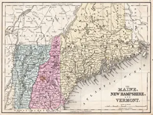
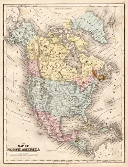
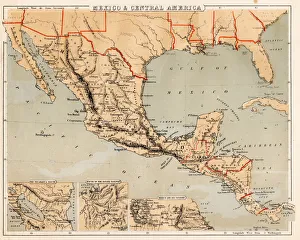
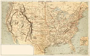
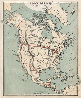
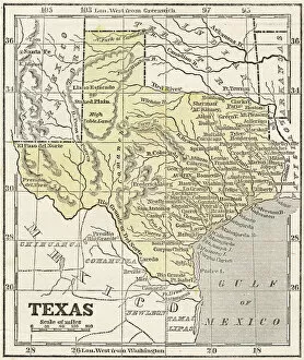
USA Maps Poster Print Collection (#12)
A collection of highly detailed United States maps including antique engravings, reference, road and streets, illustrations and satellite maps
800 Poster Prints
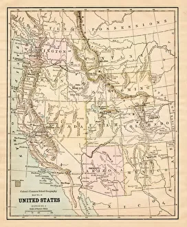
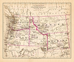
Montana Washington Oregon Idaho map 1881
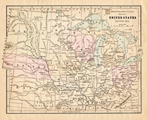
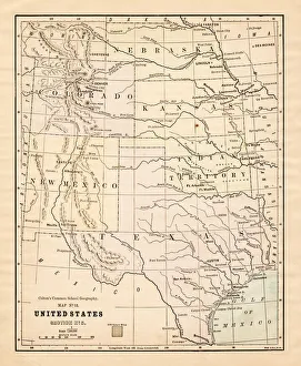
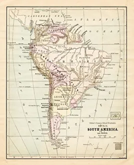
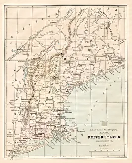
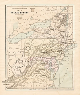
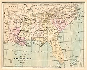
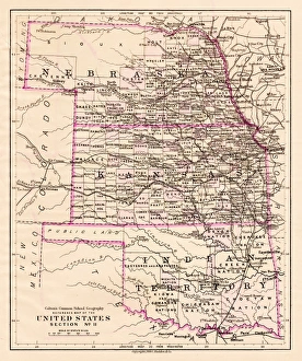
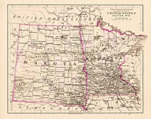
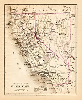
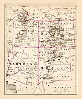
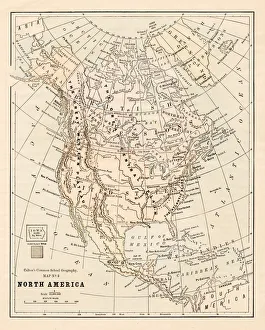
Coltons Common School Geography 1881 New York Sheldon and Co
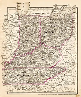
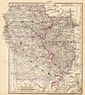
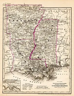
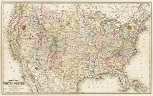
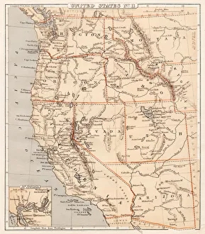
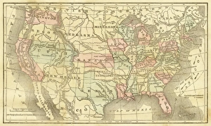
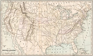
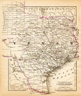
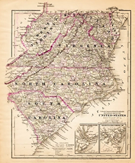
Map of United States 1867
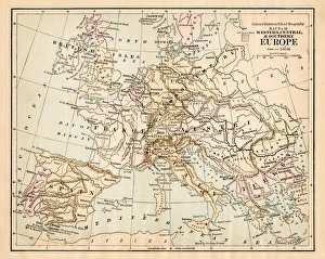
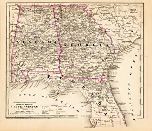
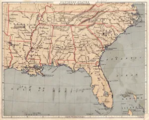
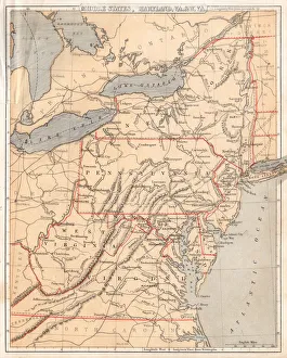
Mitchells Modern Atlas - Published by E.H. Buttler & Co - Philadelphia 1867