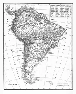
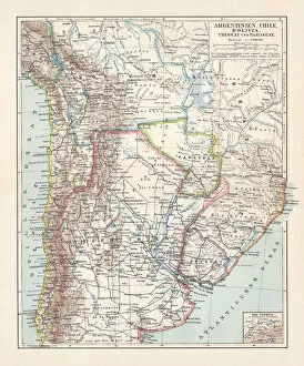
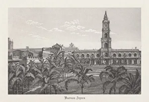
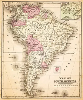
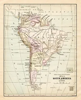
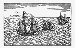
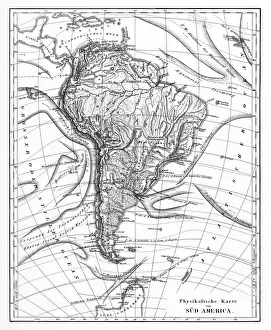
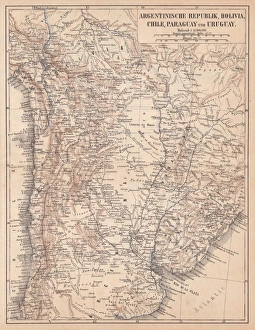
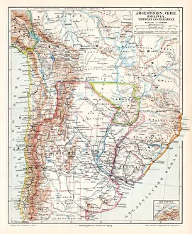
Argentina, Chile, Bolivia, Uruguay, and Paraguay, lithograph, published in 1897
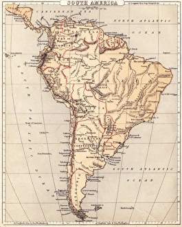
Argentina, Chile, Bolivia, Uruguay, and Paraguay. Lithograph, published in 1897
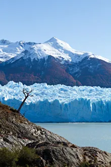
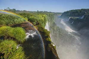
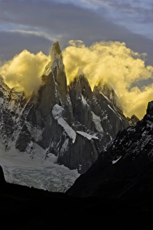
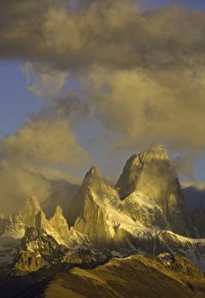
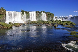
glacier, lakes, Patagonia, Argentina
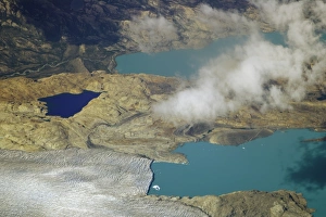
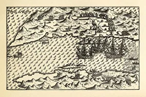
Aerial view of green and blue lakes, rocky ridges, clouds and receding glacier melting due to global warming, fall, Glaciers National Park, Andes, Patagonia, Argentina