People jumping on beach at sunset in Costa Rica
People, friends, group, silhouettes, Nicoya Peninsula, Santa Teresa, Playa Santa Teresa, Costa Rica, beach, sunset, waves, ocean, clouds, reflection at Central America
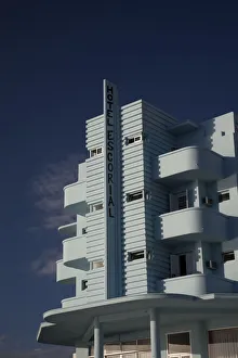
Hotel Escorial, Piriapolis, Uruguay, February 2009
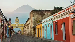
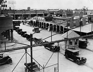
architecture, art deco, buildings, central america, classic, copy spa, Art Deco, 121834605
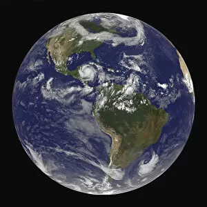
Aerospace Industry, Astronomy, Central America, Constellation, Continent, Earth (Planet)
Aerospace Industry, Astronomy, Central America, Constellation, Conti, 78403344
central america, clouds, continents, disaster, eye of storm, globe, meteorology, mexico
central america, clouds, continents, disaster, eye of storm, globe, me, 82047892