australia, beauty in nature, botany, cloud, color image, day, eucalyptus diversicolor
australia, beauty in nature, botany, cloud, color image, day, eucalypt, Gallo Landscapes, 106676643
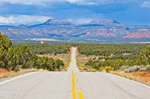
color image, photography, sun, sunbeam, cloud, overcast, landscape, hill, tranquility
color image, photography, sun, sunbeam, cloud, overcast, landscape, hil, Gallo Landscapes, 134363204
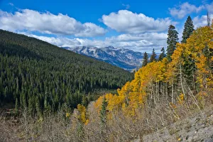
Color Image, Photography, No People, Horizontal, Outdoors, Day, Cloud, Landscape
Color Image, Photography, No People, Horizontal, Outdoors, Day, Cloud, , Gallo Landscapes, 753303669