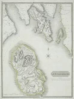
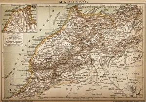
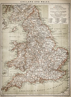
Antique map of Buteshire county in Scotland
antique, archival, border, buteshire, cartography, continent, coordinates, county, district, document, geography, historical, islands, key, legend, map, nobody, ocean, orientation, scale, scotland
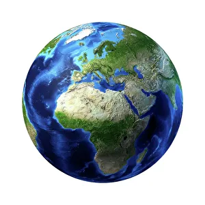
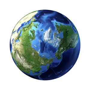
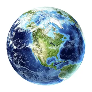
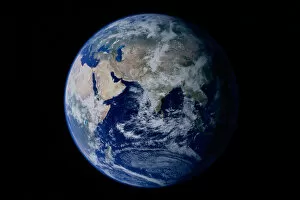
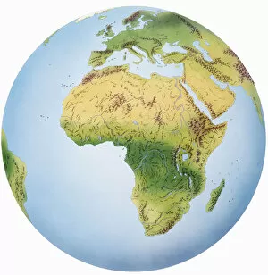
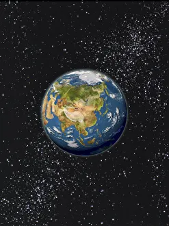
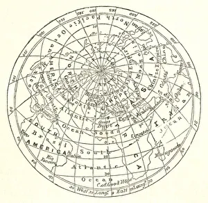
Aerospace Industry, Astronomy, Continent, Earth (Planet), Exploration, Final Frontier
Aerospace Industry, Astronomy, Continent, Earth (Planet), Exploratio, 78403065
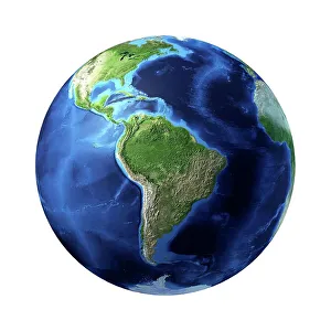
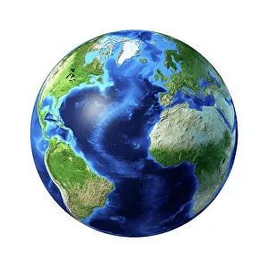
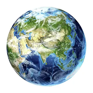
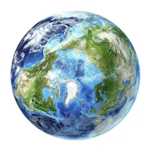
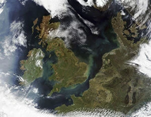
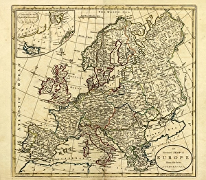
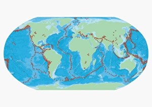
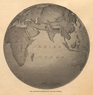
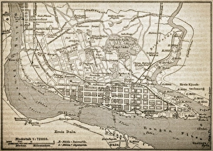
Cartography, Continent, Day, Europe, Land, Nobody, Ocean, Satellite View, Sea, Topography
Cartography, Continent, Day, Europe, Land, Nobody, Ocean, Satellite Vie, 78364144
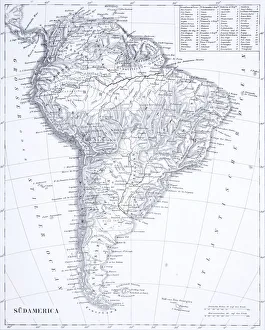
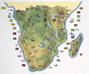
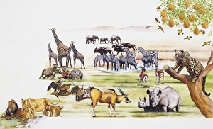
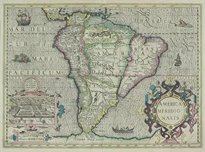
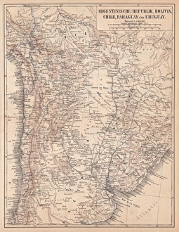
america meridionalis, animals, antique, archival, boat, border, cartography, cartouche, chart, city, continent, coordinates, elegant, fancy, fauna, fish, geography, historic, historical, inset, key
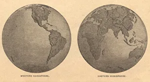
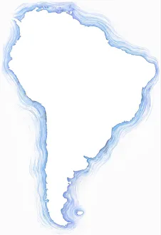
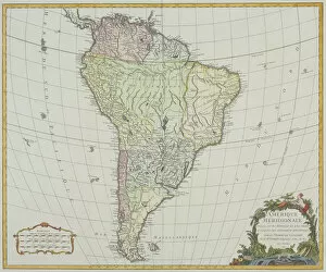
antiquity, archival, atlantic ocean, cartography, colonialism, continent, geographical, geography, historic, latitude, longitude, map, new world, nobody, old-fashioned, pacific ocean, south america