mail_outline sales@mediastorehouse.com
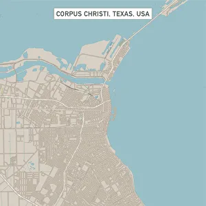
Corpus Christi Texas US City Street MapVector Illustration of a City Street Map of Corpus Christi, Texas, USA. Scale 1:60, 000. All source data is in the public domain. U.S
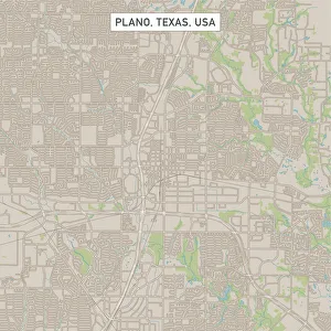
Plano Texas US City Street MapVector Illustration of a City Street Map of Plano, Texas, USA. Scale 1:60, 000. All source data is in the public domain. U.S
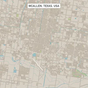
McAllen Texas US City Street MapVector Illustration of a City Street Map of McAllen, Texas, USA. Scale 1:60, 000. All source data is in the public domain. U.S
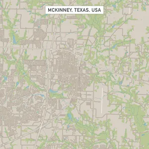
McKinney Texas US City Street MapVector Illustration of a City Street Map of McKinney, Texas, USA. Scale 1:60, 000. All source data is in the public domain. U.S
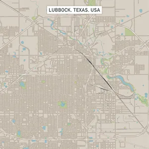
Lubbock Texas US City Street MapVector Illustration of a City Street Map of Lubbock, Texas, USA. Scale 1:60, 000. All source data is in the public domain. U.S
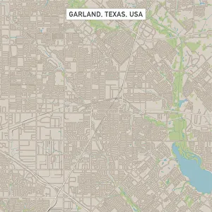
Garland Texas US City Street MapVector Illustration of a City Street Map of Garland, Texas, USA. Scale 1:60, 000. All source data is in the public domain. U.S
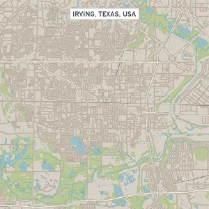
Irving Texas US City Street MapVector Illustration of a City Street Map of Irving, Texas, USA. Scale 1:60, 000. All source data is in the public domain. U.S
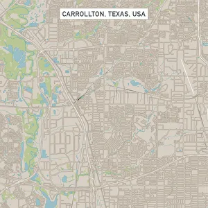
Carrollton Texas US City Street MapVector Illustration of a City Street Map of Carrollton, Texas, USA. Scale 1:60, 000. All source data is in the public domain. U.S
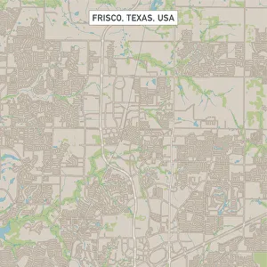
Frisco Texas US City Street MapVector Illustration of a City Street Map of Frisco, Texas, USA. Scale 1:60, 000. All source data is in the public domain. U.S
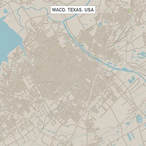
Waco Texas US City Street MapVector Illustration of a City Street Map of Waco, Texas, USA. Scale 1:60, 000. All source data is in the public domain. U.S
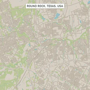
Round Rock Texas US City Street MapVector Illustration of a City Street Map of Round Rock, Texas, USA. Scale 1:60, 000. All source data is in the public domain. U.S
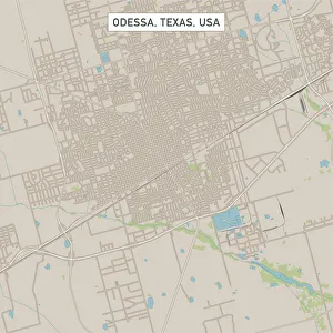
Odessa Texas US City Street MapVector Illustration of a City Street Map of Odessa, Texas, USA. Scale 1:60, 000. All source data is in the public domain. U.S
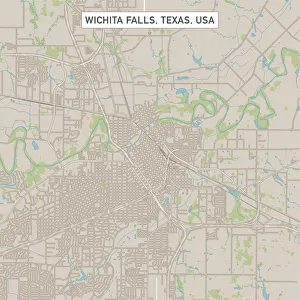
Wichita Falls Texas US City Street MapVector Illustration of a City Street Map of Wichita Falls, Texas, USA. Scale 1:60, 000. All source data is in the public domain. U.S
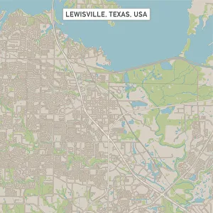
Lewisville Texas US City Street MapVector Illustration of a City Street Map of Lewisville, Texas, USA. Scale 1:60, 000. All source data is in the public domain. U.S
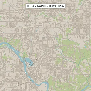
Cedar Rapids Iowa US City Street MapVector Illustration of a City Street Map of Cedar Rapids, Iowa, USA. Scale 1:60, 000. All source data is in the public domain. U.S
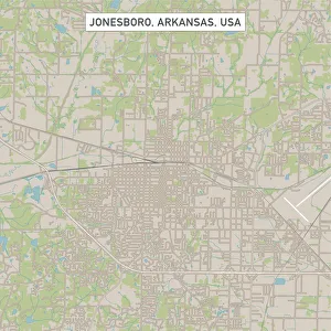
Jonesboro Arkansas US City Street MapVector Illustration of a City Street Map of Jonesboro, Arkansas, USA. Scale 1:60, 000. All source data is in the public domain. U.S
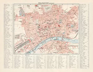
City map of Frankfurt am Main, Hesse, Germany, lithograph, 1897City map of Frankfurt am Main - largest city of the German state of Hesse (with street directory). Lithograph, published in 1897
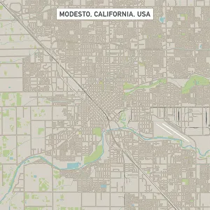
Modesto California US City Street MapVector Illustration of a City Street Map of Modesto, California, USA. Scale 1:60, 000. All source data is in the public domain. U.S
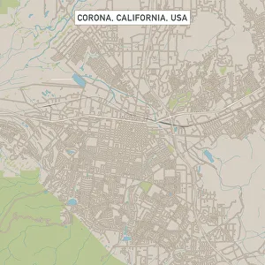
Corona California US City Street MapVector Illustration of a City Street Map of Corona, California, USA. Scale 1:60, 000. All source data is in the public domain. U.S
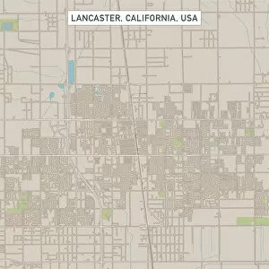
Lancaster California US City Street MapVector Illustration of a City Street Map of Lancaster, California, USA. Scale 1:60, 000. All source data is in the public domain. U.S
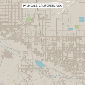
Palmdale California US City Street MapVector Illustration of a City Street Map of Palmdale, California, USA. Scale 1:60, 000. All source data is in the public domain. U.S
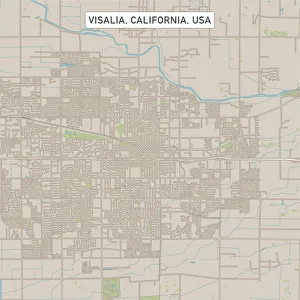
Visalia California US City Street MapVector Illustration of a City Street Map of Visalia, California, USA. Scale 1:60, 000. All source data is in the public domain. U.S
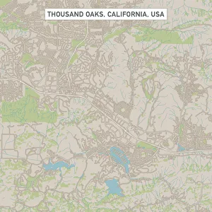
Thousand Oaks California US City Street MapVector Illustration of a City Street Map of Thousand Oaks, California, USA. Scale 1:60, 000. All source data is in the public domain. U.S
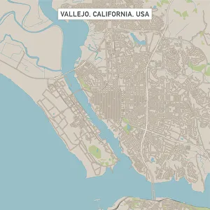
Vallejo California US City Street MapVector Illustration of a City Street Map of Vallejo, California, USA. Scale 1:60, 000. All source data is in the public domain. U.S
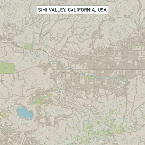
Simi Valley California US City Street MapVector Illustration of a City Street Map of Simi Valley, California, USA. Scale 1:60, 000. All source data is in the public domain. U.S
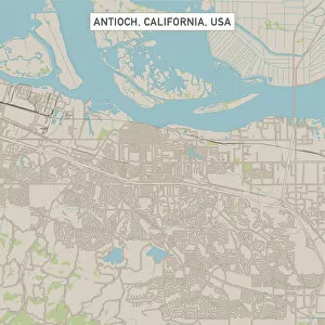
Antioch California US City Street MapVector Illustration of a City Street Map of Antioch, California, USA. Scale 1:60, 000. All source data is in the public domain. U.S
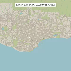
Santa Barbara California US City Street MapVector Illustration of a City Street Map of Santa Barbara, California, USA. Scale 1:60, 000. All source data is in the public domain. U.S
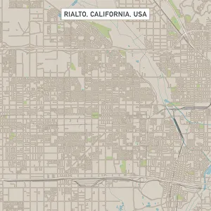
Rialto California US City Street MapVector Illustration of a City Street Map of Rialto, California, USA. Scale 1:60, 000. All source data is in the public domain. U.S
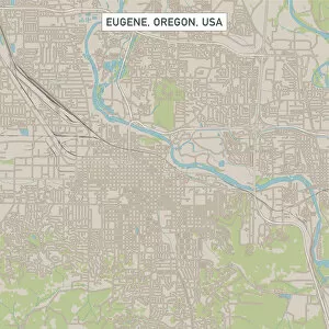
Eugene Oregon US City Street MapVector Illustration of a City Street Map of Eugene, Oregon, USA. Scale 1:60, 000. All source data is in the public domain. U.S
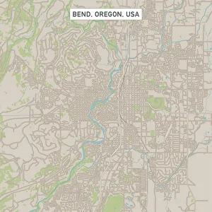
Bend Oregon US City Street MapVector Illustration of a City Street Map of Bend, Oregon, USA. Scale 1:60, 000. All source data is in the public domain. U.S
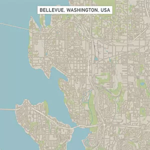
Bellevue Washington US City Street MapVector Illustration of a City Street Map of Bellevue, Washington, USA. Scale 1:60, 000. All source data is in the public domain. U.S
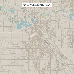
Caldwell Idaho US City Street MapVector Illustration of a City Street Map of Caldwell, Idaho, USA. Scale 1:60, 000. All source data is in the public domain. U.S
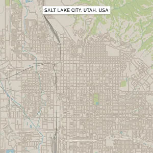
Salt Lake City Utah US City Street MapVector Illustration of a City Street Map of Salt Lake City, Utah, USA. Scale 1:60, 000. All source data is in the public domain. U.S
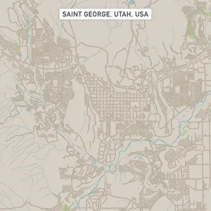
Saint George Utah US City Street MapVector Illustration of a City Street Map of Saint George, Utah, USA. Scale 1:60, 000. All source data is in the public domain. U.S
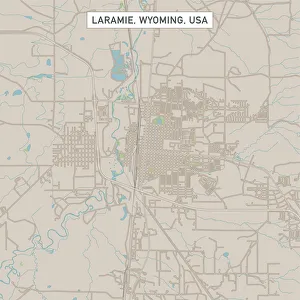
Laramie Wyoming US City Street MapVector Illustration of a City Street Map of Laramie, Wyoming, USA. Scale 1:60, 000. All source data is in the public domain. U.S
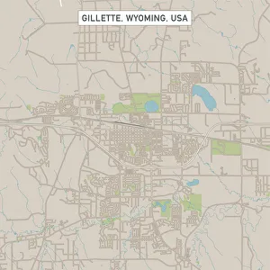
Gillette Wyoming US City Street MapVector Illustration of a City Street Map of Gillette, Wyoming, USA. Scale 1:60, 000. All source data is in the public domain. U.S
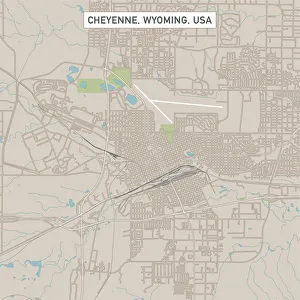
Cheyenne Wyoming US City Street MapVector Illustration of a City Street Map of Cheyenne, Wyoming, USA. Scale 1:60, 000. All source data is in the public domain. U.S
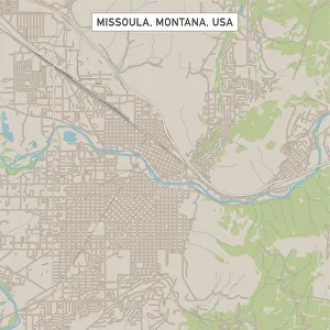
Missoula Montana US City Street MapVector Illustration of a City Street Map of Missoula, Montana, USA. Scale 1:60, 000. All source data is in the public domain. U.S
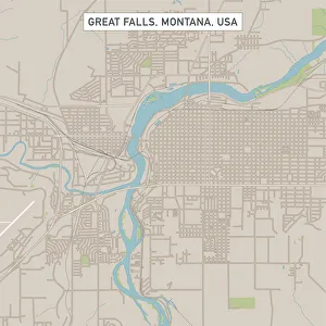
Great Falls Montana US City Street MapVector Illustration of a City Street Map of Great Falls, Montana, USA. Scale 1:60, 000. All source data is in the public domain. U.S
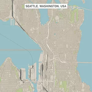
Seattle Washington US City Street MapVector Illustration of a City Street Map of Seattle, Washington, USA. Scale 1:60, 000. All source data is in the public domain. U.S
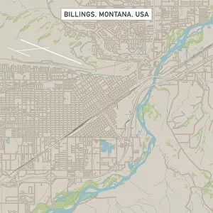
Billings Montana US City Street MapVector Illustration of a City Street Map of Billings, Montana, USA. Scale 1:60, 000. All source data is in the public domain. U.S
Sky TriadA color photo of a sunlight box on the roof of a commercial building in Portland, Oregon
Sky WheelA color photo of a wind turbine on the roof of a skyscraper in downtown Portland, Oregon
ColumnA color photo of a right angled column on a commercial building in downtown Portland, Oregon
RookeryA commercial building in downtown Portland, Oregon with a group of birds perched upon the roof
Blue Windowed WallA color photo taken in February 2019 of the wall of a commercial building in downtown Portland, Oregon displaying the sparse use of windows on it
Blue GeometryA low angle color photo of a tall commercial building in downtown Portland, Oregon taken in February 2019
Stained Glass StonesA color photo taken in February 2019 of an older stone building in contrast to a new high rise in the background in Portland, Oregon