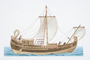
1st century Roman corbita, side view
Technology, Transportation, Ships, Boats, Sailing Ships, Ancient Roman, Corbita, Merchant Ship, Ancient History, Empire, Fleets, Merchant Ships, Naval Vessels, Romans, Rowing, Sails, Seafaring
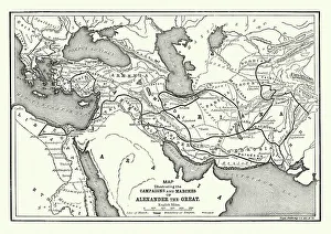
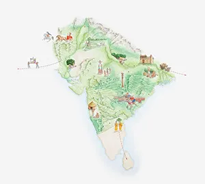
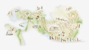
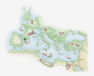
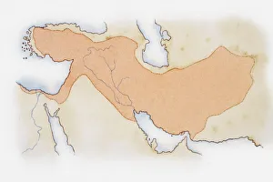
Illustration of Alexander The Greats Empire
cartography, empire, history, horizontal, map, no people, studio shot, the past, watercolour painting, white background, alexander the great, 25 May 21 01:05:52, 103763973