mail_outline sales@mediastorehouse.com
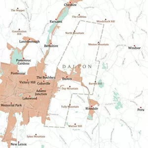
MA Berkshire Dalton Vector Road Map. All source data is in the public domain. U.S. Census Bureau Census Tiger. Used Layers: areawater, linearwater, roads, rails, cousub, pointlm, uac10
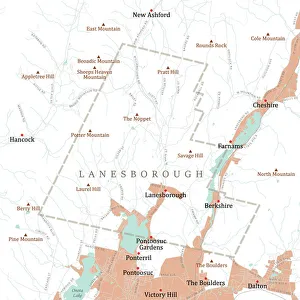
MA Berkshire Lanesborough Vector Road Map. All source data is in the public domain. U.S. Census Bureau Census Tiger. Used Layers: areawater, linearwater, roads, rails, cousub, pointlm, uac10
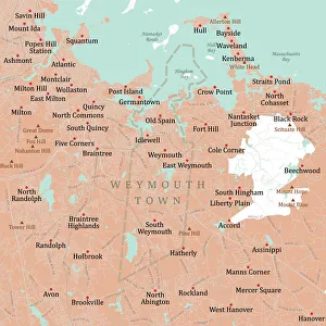
MA Norfolk Weymouth Town Vector Road Map. All source data is in the public domain. U.S. Census Bureau Census Tiger. Used Layers: areawater, linearwater, roads, rails, cousub, pointlm, uac10
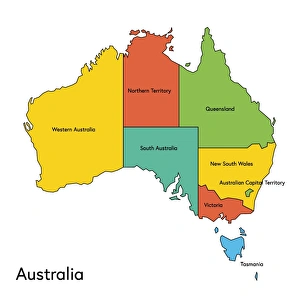
australia, map, country - geographic area, local landmark, color image, vector, illustrationVector illustration of the map of Australia with its regions and regions names
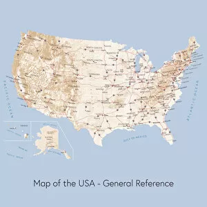
Map of the USA general referenceVector illustration of a map of the United States of America. The reference map used in the creation of this illustration is public domain map available at the University of Texas website: http
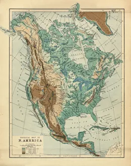
North America Physical Map, Engraving, 1892Very rare, beautifully detailed engraving of North America Physical Map, Engraving, Published in 1892. Original edition from my own archives. Copyright has expired on this artwork. Digitally restored
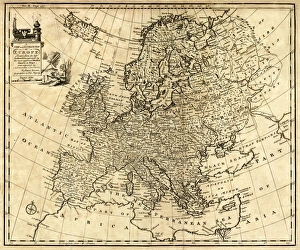
Antique Map of Europe 1744An engraved map of Europe with ornamental cartouche and relief shown pictorially by Emanuel Bowen 1744, London, Geographer to His Majesty
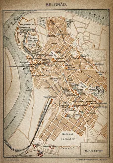
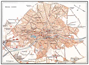
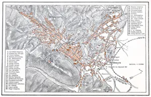
Belgrade map 1893Antique illustration of a Belgrade map 1893
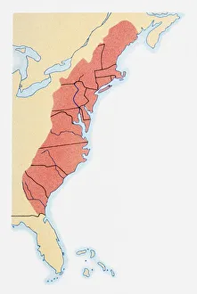
Illustration of states on East Coast of the USA
Shape and national flag of South Korea, 3D computer graphics
Shape and national flag of Azerbaijan, 3D computer graphics
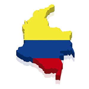
Shape and national flag of Colombia, 3D computer graphics
Shape and national flag of the Republic of Chad, 3D computer graphics
Bucharest mapIllustration of a Bucharest map
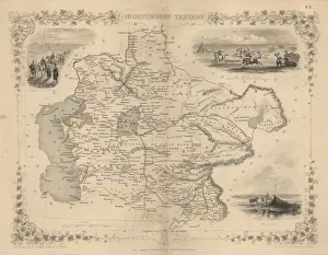
Antique map of Independent TartaryWonderfully fine engraved map 1851 of the region of Independent Tartary, which is now the area that is Kazakhstan, Uzbekistan, Turkmenistan alongside the Caspian Sea and Aral Sea
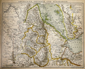
Abyssinia, Eritrea and South ArabiaAntique illustration of a Abyssinia, Eritrea and South Arabia
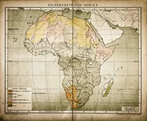
Ethnic map of AfricaAntique illustration of a ethnic map of Africa
Actual entrance to the American sector in BerlinThis is the entry point to the american sector, today is a mayor tourist atraction and is on the border to the american sector of Berlin
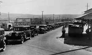
Weekend Tripperscirca 1930: Cars queuing to cross the border into Mexico at Tiajuana. (Photo by General Photographic Agency/Getty Images)
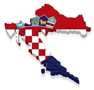
Shape and national flag of Croatia, 3D computer graphics
Shape and national flag of Senegal, levitating, 3D computer graphics
Highly detailed hand-drawn map of Argentina within the outline of South America with a compass rose and the equator
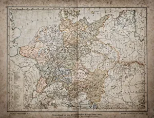
Germany until the Thirty Years War. (1493-1618)Illustration of a Germany until the Thirty Years War. (1493-1618)
Brasov manIllustration of a Brasov map
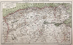
Antique map of Algeria and TunisiaIllustration of a Antique map of Algeria and Tunisia
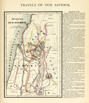
Travels of Our Savior Map EngravingEngraved illustration of the Travels of Our Savior Map Engraving from The Popular Pictorial Bible, Containing the Old and New Testaments, Published in 1862. Copyright has expired on this artwork
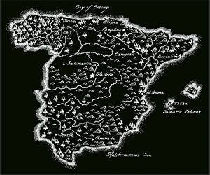
Antique SpainSpain Map, - Antique style. Includes mountains and water bodies. High detail - vector illustration
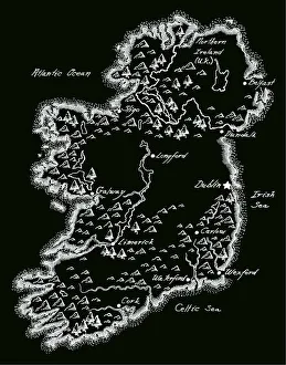
Antique Ireland MapIreland Map, - Antique style. Includes mountains and water bodies. High detail - vector illustration
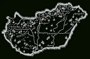
Antique Hungary MapHungary Map, - Antique style. Includes mountains and water bodies. High detail - vector illustration
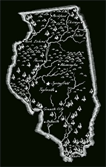
Antique Illinois MapIllinois Map, - Antique style. Includes mountains and water bodies. High detail - vector illustration
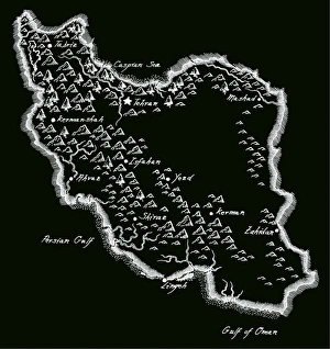
Antique Iran MapIran Map, - Antique style. Includes mountains and water bodies. High detail - vector illustration
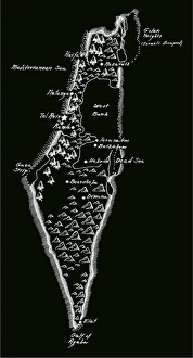
Antique Israel MapIsrael Map, - Antique style. Includes mountains and water bodies. High detail. - vector illustration
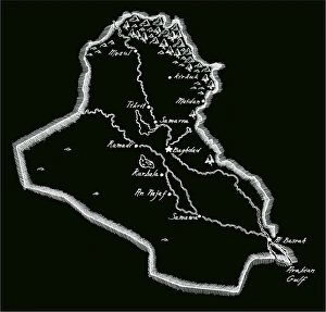
Antique Iraq MapIraq Map, - Antique style. Includes mountains and water bodies. High detail - vector illustration
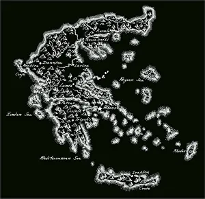
Antique Greece MapGreece Map, - Antique style. Includes mountains and water bodies. High detail - vector illustration
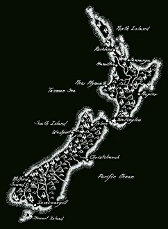
Antique New Zealand
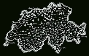
Antique SwitzerlandSwitzerland Map, - Antique style. Includes mountains and water bodies. High detail - vector illustration
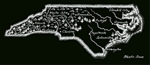
Antique North Carolina
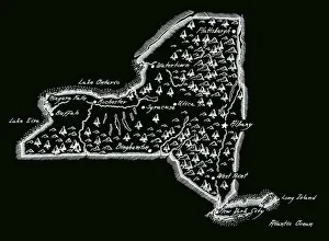
Antique New York StateNew York State Map, - Antique style. Includes mountains and water bodies. High detail - vector illustration
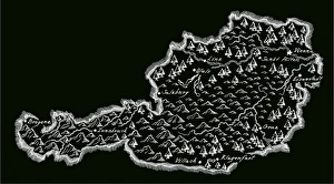
Antique AustriaAustria Map, - Antique style. Includes mountains and water bodies. High detail - vector illustration
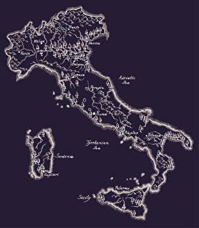
Antique ItalyItaly Map, - Antique style. Includes mountains and water bodies. High detail - vector illustration
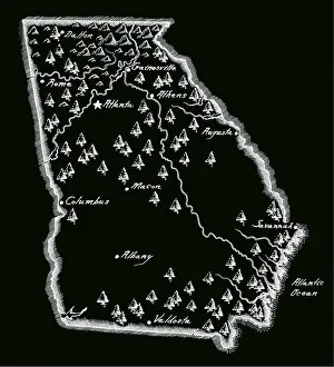
Antique Georgia MapGeorgia Map, - Antique style. Includes mountains and water bodies. High detail - vector illustration
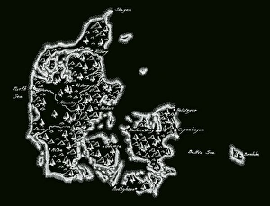
Antique Denmark MapDenmark Map, - Antique style. Includes mountains and water bodies. High detail - vector illustration
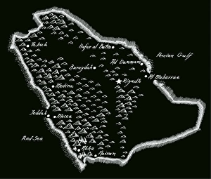
Antique Saudi ArabiaSaudi Arabia Map, - Antique style. Includes mountains and water bodies. High detail - vector illustration
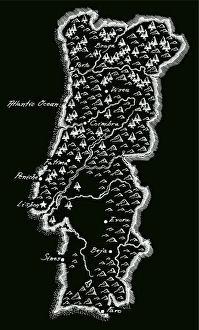
Antique PortugalPortugal Map, - Antique style. Includes mountains and water bodies. High detail - vector illustration
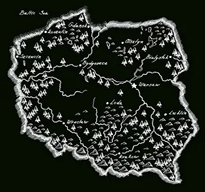
Antique PolandPoland Map, - Antique style. Includes mountains and water bodies. High detail - vector illustration
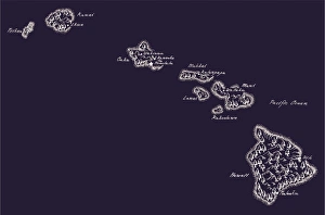
Antique Hawaii MapHawaii Map, - Antique style. Includes mountains and water bodies. High detail - vector illustration
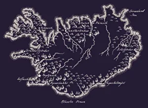
Antique Iceland MapIceland Map, - Antique style. Includes mountains and water bodies. High detail - vector illustration
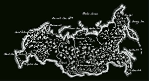
Antique RussiaRussia Map, - Antique style. Includes mountains and water bodies. High detail - vector illustration