
Globe Collection (page 2)

Background imageGlobe Collection: Illustration of globe showing North and South America, Africa, Europe and Atlantic Ocean

Illustration of globe showing North and South America, Africa, Europe and Atlantic Ocean

Background imageGlobe Collection: Illustration of set of scales with globe on one side and weights on the other

Illustration of set of scales with globe on one side and weights on the other

Background imageGlobe Collection: Cancha de Bochas - round stones at National Park Parque Provincial Ischigualasto, Central Andes

Cancha de Bochas - round stones at National Park Parque Provincial Ischigualasto, Central Andes, Argentina, South America

Background imageGlobe Collection: Satellite view of Earth featuring cloudless view of India, China, Russia, and Pakistan

Satellite view of Earth featuring cloudless view of India, China, Russia, and Pakistan

Background imageGlobe Collection: Internal structure of the Earth, 3D illustration

Internal structure of the Earth, 3D illustration

Background imageGlobe Collection: Internal structure of the Earthwith English labels, 3D illustration

Internal structure of the Earthwith English labels, 3D illustration

Background imageGlobe Collection: Radio tower montage

Radio tower montage
UNITED STATES - CIRCA 1940s: Montage of radio tower with power lines and globe. (Photo by H. Armstrong Roberts/Retrofile/Getty Images)

Background imageGlobe Collection: africa, animals, antique, archival, art, asia, australia, border, cartography, continents

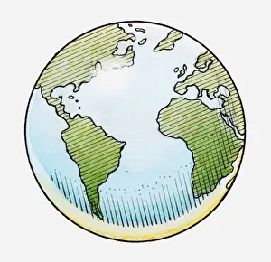
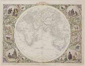
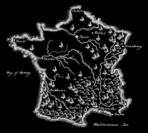
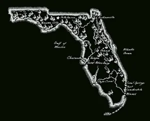
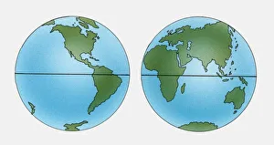
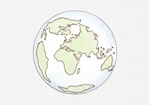
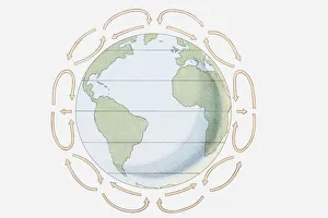
africa, animals, antique, archival, art, asia, australia, border, cartography, continents, culture, decorative, depicted, depicting, depiction, diversity, document, eastern hemisphere, europe

Background imageGlobe Collection: 18th century, animal likeness, antique, archival, art, atlas, atlas novus terrarium orbis imperia

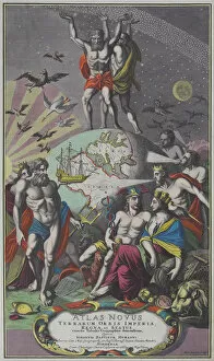
18th century, animal likeness, antique, archival, art, atlas, atlas novus terrarium orbis imperia, book, cover, deities, depicting, design, engraving, figures, geography, globe, god, goddesses

Background imageGlobe Collection: binary, digital, earth, energy, global, globe, lightning, montage, nobody, numbers

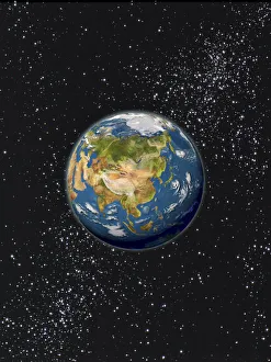
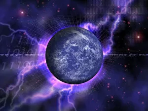
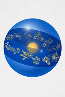
binary, digital, earth, energy, global, globe, lightning, montage, nobody, numbers, orb, outer space, planet, sphere, stars, universe, whole, world, Hemera, 87464649

Background imageGlobe Collection: Antique illustration of VERY old world map (around year 600)

Antique illustration of VERY old world map (around year 600)

Background imageGlobe Collection: Historic Map of the Arctic, wood engraving, published in 1882

Historic Map of the Arctic, wood engraving, published in 1882
Historic Map of the Arctic. Wood engraving, published in 1882

Background imageGlobe Collection: Africa, Ancient Civilisations, Ancient Egypt, Ancient Greece, Ancient Rome, Antarctica

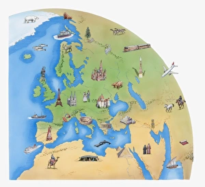
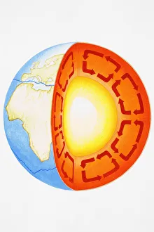
Africa, Ancient Civilisations, Ancient Egypt, Ancient Greece, Ancient Rome, Antarctica, Architecture, Arid, Asia, Building Exterior, Camel, Cold, Commercial Aircraft, Contrasts, Cruise Liner, Day

Background imageGlobe Collection: Antique Map of the World

Antique Map of the World
Vintage map of the World from 1884

Background imageGlobe Collection: Antique Ireland Map

Antique Ireland Map
Ireland Map, - Antique style. Includes mountains and water bodies. High detail - vector illustration

Background imageGlobe Collection: Antique Hungary Map

Antique Hungary Map
Hungary Map, - Antique style. Includes mountains and water bodies. High detail - vector illustration

Background imageGlobe Collection: Antique Illinois Map

Antique Illinois Map
Illinois Map, - Antique style. Includes mountains and water bodies. High detail - vector illustration

Background imageGlobe Collection: Antique Greece Map

Antique Greece Map
Greece Map, - Antique style. Includes mountains and water bodies. High detail - vector illustration

Background imageGlobe Collection: Antique Georgia Map

Antique Georgia Map
Georgia Map, - Antique style. Includes mountains and water bodies. High detail - vector illustration

Background imageGlobe Collection: Antique Iceland Map

Antique Iceland Map
Iceland Map, - Antique style. Includes mountains and water bodies. High detail - vector illustration

Background imageGlobe Collection: Antique France Map

Antique France Map
France Map, - Antique style. Includes mountains and water bodies. High detail - vector illustration

Background imageGlobe Collection: Antique Florida Map

Antique Florida Map
Florida Map, - Antique style. Includes mountains and water bodies. High detail - vector illustration

Background imageGlobe Collection: Illustration of the zodiac, and constellations in a globe circling the sun

Illustration of the zodiac, and constellations in a globe circling the sun

Background imageGlobe Collection: Earth showing Eurasian plate, African, Antarctic plates, and Earths core, cross-section

Earth showing Eurasian plate, African, Antarctic plates, and Earths core, cross-section

Background imageGlobe Collection: Comical depiction of Earth globe with face blowing clouds from mouth

Comical depiction of Earth globe with face blowing clouds from mouth

Background imageGlobe Collection: Globe of the World

Globe of the World

Background imageGlobe Collection: Illustration of various weather conditions in different parts of the world

Illustration of various weather conditions in different parts of the world

Background imageGlobe Collection: Digital illustration of world glowing showing North and South America, Greenland

Digital illustration of world glowing showing North and South America, Greenland, and parts of Europe and Africa

Background imageGlobe Collection: Illustration of methods of navigation, determining latitude and longitude by various means, includin

Illustration of methods of navigation, determining latitude and longitude by various means, includin

Background imageGlobe Collection: Illustration of coordinate system on cross-section globe

Illustration of coordinate system on cross-section globe

Background imageGlobe Collection: Illustration of the Earth with surrounding troposphere

Illustration of the Earth with surrounding troposphere

Background imageGlobe Collection: Illustration of the Earth with arrows indicating air movements towards and away from the equator

Illustration of the Earth with arrows indicating air movements towards and away from the equator

Background imageGlobe Collection: Two Illustrations of planet Earth showing latitude

Two Illustrations of planet Earth showing latitude

Background imageGlobe Collection: Sequence of llustrations showing how the Earth has changed from Pangaea

Sequence of llustrations showing how the Earth has changed from Pangaea, the crust moving with continents breaking apart, and how the world looks today

Background imageGlobe Collection: Illustration of continent distribution c. 65 mya, Cenozoic era

Illustration of continent distribution c. 65 mya, Cenozoic era

Background imageGlobe Collection: Digital illustration of World globe divided from top

Digital illustration of World globe divided from top

Background imageGlobe Collection: Illustration showing prevailing winds, Hadley cells and the Coriolis effect

Illustration showing prevailing winds, Hadley cells and the Coriolis effect

Background imageGlobe Collection: Illustration of hands holding globe

Illustration of hands holding globe

Background imageGlobe Collection: Illustration of globe showing position of Galapagos Islands highlighted in red

Illustration of globe showing position of Galapagos Islands highlighted in red

Background imageGlobe Collection: Illustration of globes outlining the tropical regions including Africa

Illustration of globes outlining the tropical regions including Africa, South America and South East Asia

Background imageGlobe Collection: Illustration of globe showing Germany in red

Illustration of globe showing Germany in red

Background imageGlobe Collection: Illustration of global wind formation through rotation and deflection (Coriolis effect)

Illustration of global wind formation through rotation and deflection (Coriolis effect)

Background imageGlobe Collection: Illustration of world map with Europe highlighted in red

Illustration of world map with Europe highlighted in red

Background imageGlobe Collection: Illustration of Hadley Cells over Europe and Africa on world globe

Illustration of Hadley Cells over Europe and Africa on world globe

Background imageGlobe Collection: Illustration of Antarctica on globe

Illustration of Antarctica on globe

Background imageGlobe Collection: Illustration of three globes and development of continents, 200 million years ago

Illustration of three globes and development of continents, 200 million years ago, 50 million years ago, and present day

Background imageGlobe Collection: Illustration of the Earths layers

Illustration of the Earths layers

Background imageGlobe Collection: Illustration of the Earth spinning around its axis

Illustration of the Earth spinning around its axis


All Professionally Made to Order for Quick Shipping