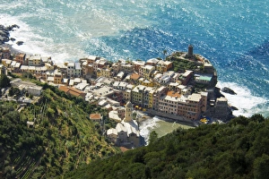
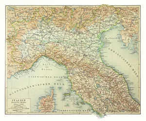
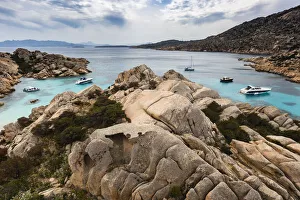
Boats in rocky cove, Maddalena Archipelago, Provincia di Olbia-Tempio, Italy
archipelago, beach, blue, boat, calm, cloud, color image, cove, day, europe, high angle view, hill, horizontal, inlet, italy, maddalena archipelago, mediterranean sea, national park, nobody, ocean
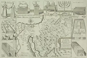
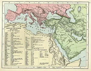
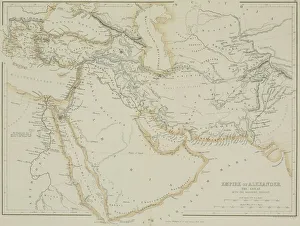
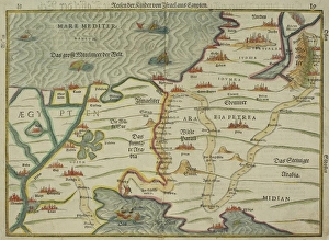
Antique map of the Empire of Alexander the Great
afghanistan, antique, arabia, arabian, azerbijan, black, border, cartography, caspian, coordinates, countries, document, empire of alexander the great, geography, historic, historical, iran, iraq