mail_outline sales@mediastorehouse.com
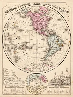
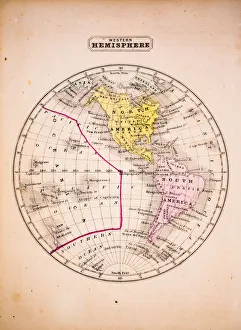
Western Hemisphere map 1867Mitchells Modern Atlas - Published by E.H. Buttler & Co - Philadelphia 1867
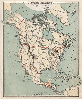
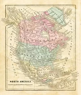
Map of North America 1869Cornells Grammars-School Geography - S.S. Cornell - New York D. Appleton and Company 1869
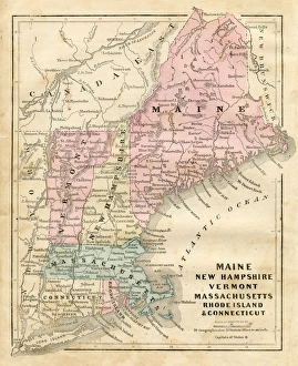
Maine New Hampshire and Connecticut 1856Colton and Fitchs Modern School Geography by George W. Fitch - New York 1856
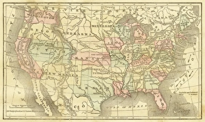
Map of United States 1856Colton and Fitchs Modern School Geography by George W. Fitch - New York 1856
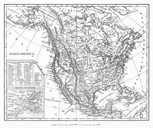
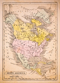
Map of North America 1856Colton and Fitchs Modern School Geography by George W. Fitch - New York 1856
Victorian map of the Arctic CircleA Victorian map of the Arctic Circle and beyond. From Peter Parleyas Annual - A Christmas and New Yearas Present for Young Peoplea published in London by Darton & Co in 1851
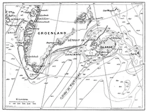
Antique illustration of Greenland and Iceland bathymetry map
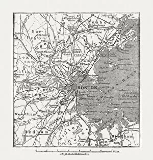
Boston, Massachusetts, USA, wood engraving, published in 1882Map of Boston, Massachusetts, USA. Wood engraving, published in 1882
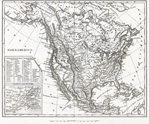
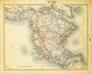
Map of North AmericaEngraved illustrations of a Map of North America from Iconographic Encyclopedia of Science, Literature and Art, Published in 1851. Copyright has expired on this artwork. Digitally restored
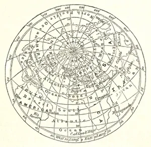
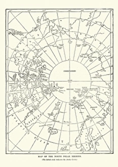
Victorian map of the North Polar RegionsVintage engraving showing a Victorian map of the North Polar Regions
Western Hemisphere 1852 Map
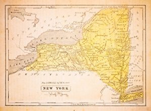
New York 1852 Map
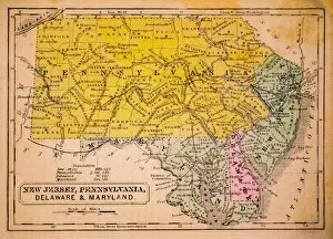
New Jersey, Pennsylvania, Delaware and Maryland 1852 Map
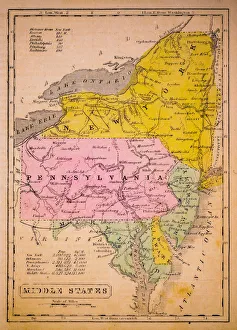
Middle States 1852 Map
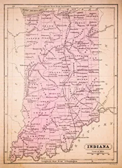
Indiana 1852 Map
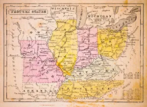
Western States 1852 Map
North America 1852 Map
United States 1852 Map
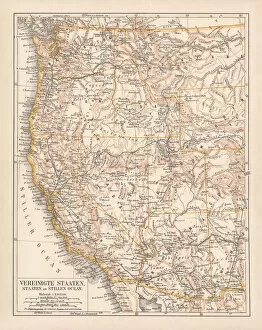
United States of America, West Coast, ithograph, published in 1878United States of America, States on the Pacific Ocean. Lithograph, published in 1878
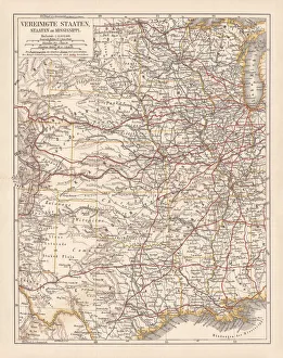
United States of America, States on Mississippi river, lithograph published 1878United States of America, States on the Mississippi river. Lithograph, published in 1878
United States of America, Atlantic coast, lithograph, published in 1878United States of America, Atlantic coast. Lithograph, published in 1878
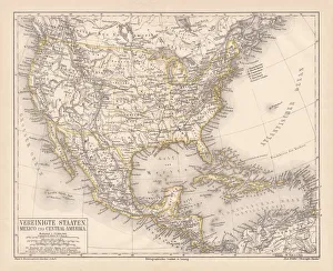
United States of America, Mexico and Central America, published in 1878United States of America, Mexico and Central America. Lithograph, published in 1878
North America 1850 EngravingEngraved illustrations of the Physical Map of North America from Iconographic Encyclopedia of Science, Literature and Art, Published in 1851. Copyright has expired on this artwork. Digitally restored
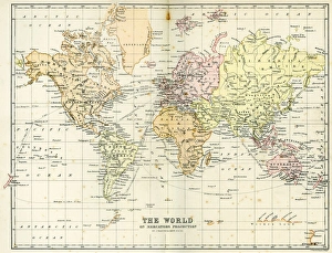
Antique Map of the WorldVintage map of the World from 1884
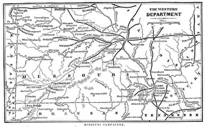
Missouri CampaignsVintage engraving from 1863 of a map of the Missouri Campaigns from the time of the American Civil War
Vintage Map of New York at the beginning of the 18th Century. from 1880
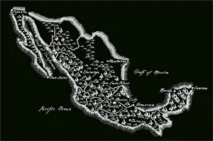
Antique MexicoMexico Map, - Antique style. Includes mountains and water bodies. High detail - vector illustration
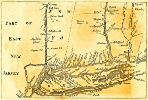
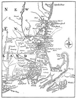
Vintage Map of New England at the beginning of the 18th century
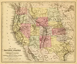
map of the Pacific states (California, Oregon, Washington) an territories with a part of central and souther states - USA (1883)
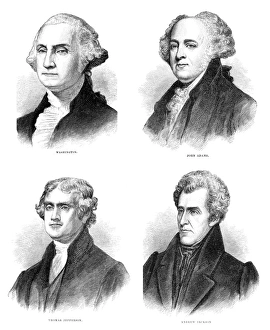
United States presidents engravingUnited States presidents from the 1800s engraving illustrations
Map of North America 1882Antique Map of North America 1882
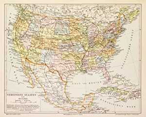
Map of United States and Mexico 1897Map of United States and Mexico
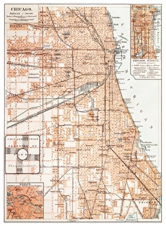
Map of Chicago 1895Map of the city of Chicago, USA
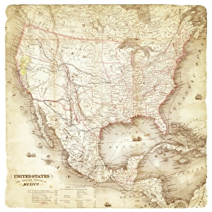
Map of United States and Mexico 1849Map of United States and Mexico
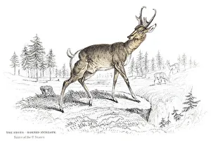
The Pronghorn antelope engraving 1855
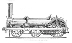
Locomotive steam engine engraving 1875American Dictionary of the English Language
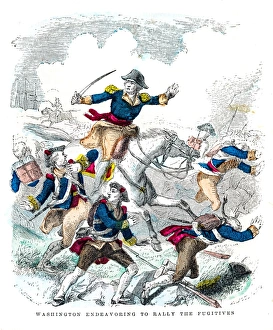
Washington battle the fugitives engraving 1859illustrated Life of George Washington
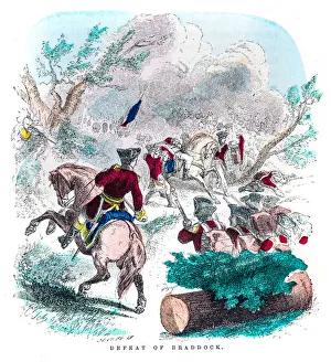
Washington defeat of Braddock engraving 1859illustrated Life of George Washington
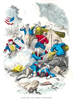
Washington attack on Ft Mifflin engraving 1859illustrated Life of George Washington
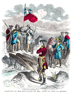
Washington royal flag at Duquesne engraving 1859illustrated Life of George Washington
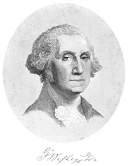
George Washington engraving 1859illustrated Life of George Washington
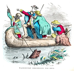
Washington descending the Ohio engraving 1859illustrated Life of George Washington
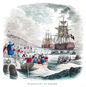
Washington evacuation of Boston engraving 1859illustrated Life of George Washington
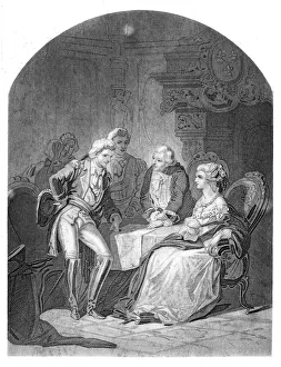
Lafayette Louis XVI and Marie Antoniette engraving 1859illustrated Life of George Washington
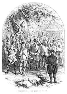
Washington christening the liberty tree engraving 1859illustrated Life of George Washington
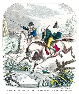
Washington and the countryman engraving 1859illustrated Life of George Washington
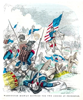
Washington battle of Princenton engraving 1859illustrated Life of George Washington
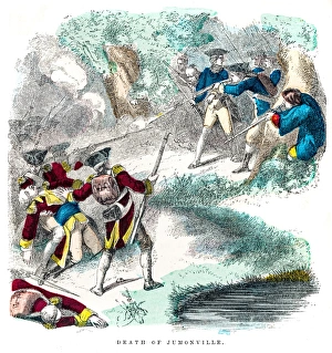
Washington death of Jumonville engraving 1859illustrated Life of George Washington