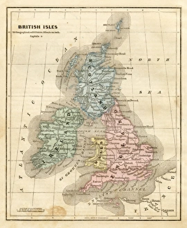
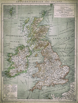
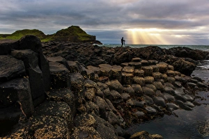
Architecture, Attraction, Building Homes, Castle, Destination, Fortress, Historic World Event, History, Ireland, Northern Ireland, Outdoors, Republic of Ireland, River, Sightseeing, Tourism
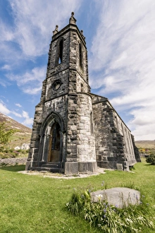
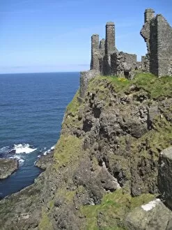
Ancient, Antiquities, Attraction, Castle, County, County Antrim, Destination, Famous Place, Fortress, History, Ireland, Northern Ireland, Old Ruin, Outdoors, Republic of Ireland, Sightseeing
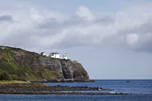
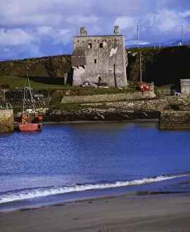
Ancient, Antiquities, Architecture, Attraction, Building Homes, Castle, Coastal Feature, Coastline, Destination, Harbor, Historic World Event, History, Ireland, Island, Northern Ireland, Old Ruin
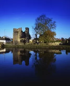
12th century, Ancient, Antiquities, Attraction, Castle, Copy Space, Destination, Historic World Event, History, Ireland, Northern Ireland, Old Ruin, Outdoors, Reflection, Republic of Ireland, River
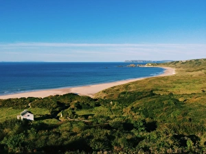
building exterior, castle, cliff, color image, county antrim, day, dunluce castle
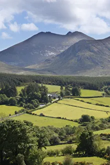
Northern Ireland, County Antrim, Dunluce Castle near Bushmills and Portrush, off the A2 coastal road, cows in pasture forground, Northern Ireland, County Atrim